What is recorded here
Marked only on the 1945 ed. of the OS 6-inch map. It is situated in reclaimed pasture on a N-facing slope of the NW-SE Glenade valley. This is a circular, grass-covered platform (diam. 20m) defined by a scarp (H 0.2-0.5m).
The above description is derived from 'The Archaeological Inventory of County Leitrim' compiled by Michael J. Moore (Dublin: Stationery Office, 2003). In certain instances the entries have been revised and updated in the light of recent research.
Date of upload: 23 September 2008
The monument record does not grant public access. Check the route and ask the landowner before entering private land.
- What survives
- Recorded monument
Places near here
 St. Patricks WellHoly well · 1353 yd
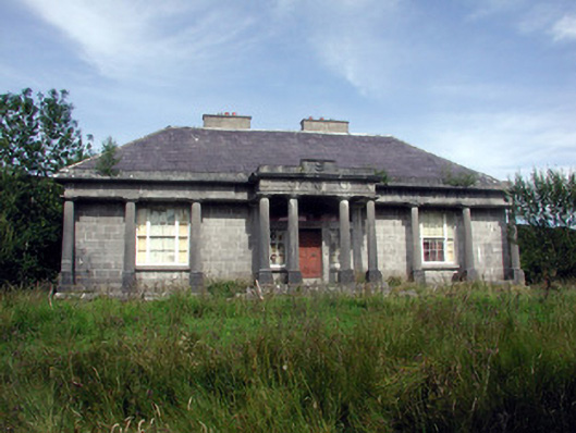 Glenade Housecountry house · 1448 yd
 Peytons Isd.Enclosure · 1.0 mi
 Teampul ShetricPenal Mass station · 1.6 mi
 Longhill WoodForest · 1.9 mi
 Ashisland WoodForest · 2.2 mi
 Castle CarCastle · 2.2 mi
 Agow TopMountain / peak · 2.5 mi
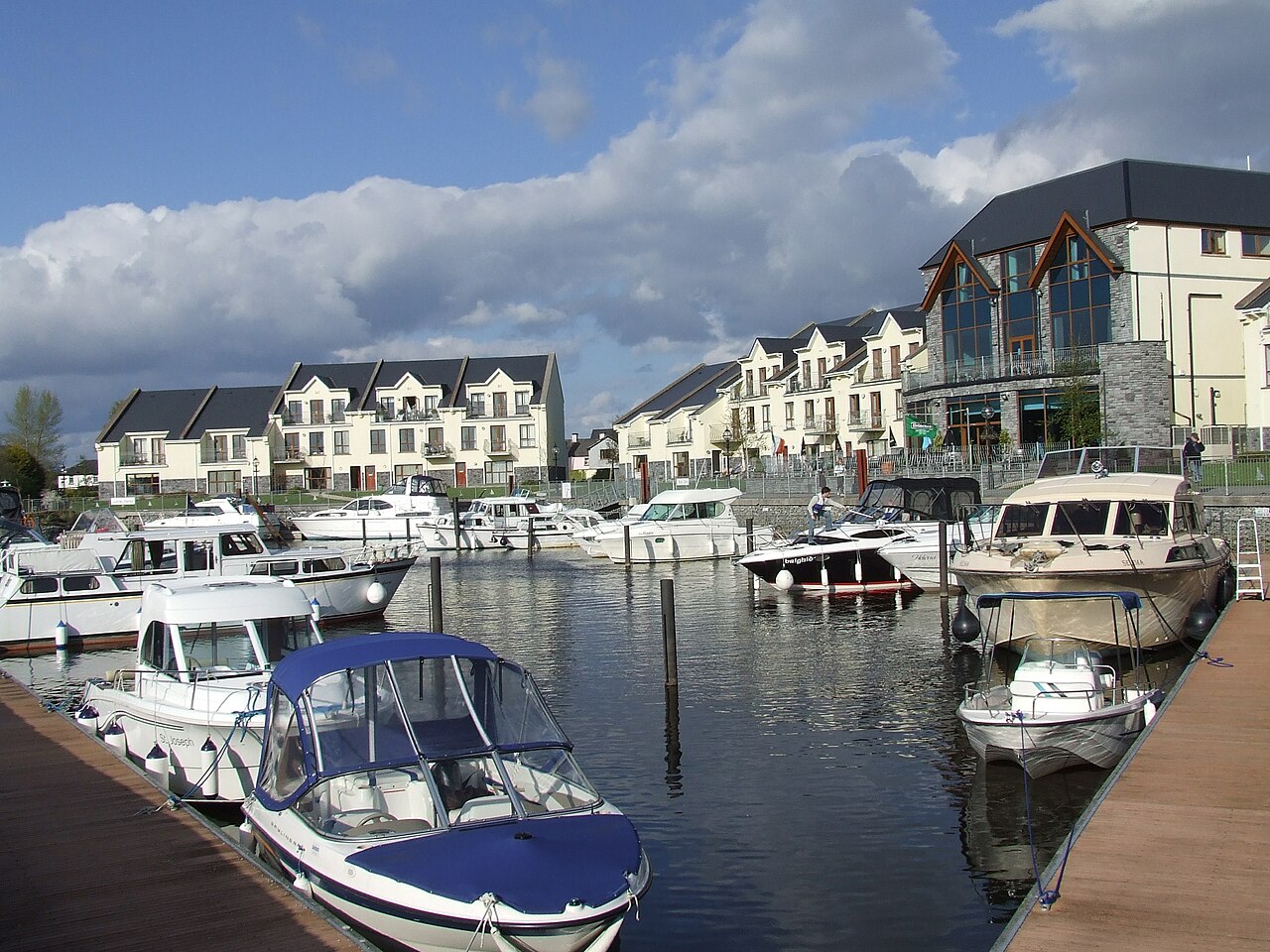 AghalateeveMountain / peak · 2.6 mi
 Kilroosk RockNamed rock · 3.4 mi
 CastleCastle, unclassified · 3.5 mi
 Memorial Francis FinnMemorial · 4.4 mi