What is recorded here
On Peyton's Island near the NE shore of Glenade Lough (dims c. 1.8km NW-SE; c. 300-500m NE-SW). An enclosure is described in the 1940s as a circular area (diam. c. 50m) defined by the remains of a stone wall (Wth c. 2m; H c. 1m), with animal bone and charcoal in the soil (SMR file). No trace of this wall was visible in 1993 but the island is overgrown, the water table was high and the island was partly flooded. Moore (Dublin: Stationery Office, 2003).
From the National Monuments Service (Archaeological Survey of Ireland) record LE004-030
The monument record does not grant public access. Check the route and ask the landowner before entering private land.
- What survives
- Recorded monument
Places near here
Photo credits
- National Inventory of Architectural Heritage
- Michael Murtagh, Geograph · CC BY-SA 2.0
- Jacobfrid, Wikimedia Commons · CC BY-SA 4.0
- NTF30, Wikimedia Commons · CC BY-SA 4.0
- John M, Geograph · CC BY-SA 2.0
- Oliver Dixon, Geograph · CC BY-SA 2.0
- Kenneth Allen, Wikimedia Commons · CC BY-SA 2.0
- John M, Geograph · Creative Commons Attribution-ShareAlike 2.0
- Kenneth Allen, Geograph · CC BY-SA 2.0
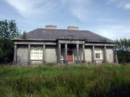 Glenade HouseCountry house · 476 ydIndicatedFairy fort / earthen ringfort · 1619 ydLonghill WoodForest · 2.9 mi
 Arroo MountainMountain / peak · 3.6 mi
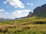 Eagle's RockMountain / peak · 3.7 mi
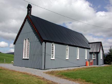 Lurganboy Church (Killasnet)Church/chapel · 4.2 mi
 TievebaunMountain / peak · 4.2 mi
 Glencar WaterfallWaterfall · 4.4 mi
 Glencar IslandIslet · 4.5 mi
 Manorhamilton CastleCastle · 5.4 mi
 IndicatedBastioned fort · 5.7 mi
 InishtempleIslet · 5.8 mi
More archaeology and monuments in County Leitrim · All of County Leitrim
What do you know about this place?