What is recorded here
On a shelf of the W side of Glenade valley overlooking Glenade Lough, the NW corner of which is c. 350m to the E. Grass and reed-covered circular area (int. dims 29m NW-SE; 29.5m NE-SW) defined by an earthen bank (at NW: Wth 2.54m; int. H 0.2m; ext. H 0.3m; at SW: Wth 4m; int. H 0.1m; ext. H 1.4m), with an outer fosse (Wth 3.5-4.5m; D 0.1-0.4m) visible SW-N. The entrance (Wth 1.6m) is at NNW and the monument is bisected by a NE-SW field bank and drain. Moore (Dublin: Stationery Office, 2003).
On a shelf of the W side of Glenade valley overlooking Glenade Lough, the NW corner of which is c. 350m to the E. Grass and reed-covered circular area (int. dims 29m NW-SE; 29.5m NE-SW) defined by an earthen bank (at NW: Wth 2.54m; int. H 0.2m; ext. H 0.3m; at SW: Wth 4m; int. H 0.1m; ext. H 1.4m), with an outer fosse (Wth 3.5-4.5m; D 0.1-0.4m) visible SW-N. The entrance (Wth 1.6m) is at NNW and the monument is…
From the National Monuments Service (Archaeological Survey of Ireland) record LE004-029
The monument record does not grant public access. Check the route and ask the landowner before entering private land.
- What survives
- Recorded monument
Places near here
Photo credits
- National Inventory of Architectural Heritage
- Jacobfrid, Wikimedia Commons · CC BY-SA 4.0
- NTF30, Wikimedia Commons · CC BY-SA 4.0
- John M, Geograph · CC BY-SA 2.0
- Oliver Dixon, Geograph · CC BY-SA 2.0
- Willie Duffin, Geograph · CC BY-SA 2.0
- Suzanne Mischyshyn, Geograph · CC BY-SA 2.0
- A.-K. D., Wikimedia Commons · CC BY-SA 4.0
- Kenneth Allen, Wikimedia Commons · CC BY-SA 2.0
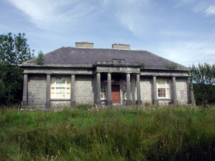 Glenade HouseCountry house · 1.2 mi
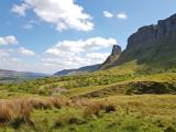 Eagle's RockMountain / peak · 2.8 mi
 TruskmoreMountain / peak · 3.3 mi
 TievebaunMountain / peak · 3.4 mi
 Glencar WaterfallWaterfall · 3.6 mi
 Glencar IslandIslet · 3.8 mi
 Glencar Lough ViewpointViewpoint · 4.4 mi
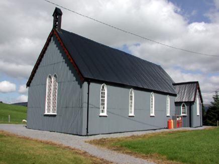 Lurganboy Church (Killasnet)Church/chapel · 4.8 mi
 Gleniff Horseshoe Drive 2Viewpoint · 5.1 mi
.jpg/250px-Keeloges_holy_well_(7).jpg "Photo: A.-K. D., Wikimedia Commons · CC BY-SA 4.0") Holy well in KeelogesHoly well · 5.4 mi
Holy well in KeelogesHoly well · 5.4 mi Stone head in KeelogesStone head · 5.4 mi
 Manorhamilton CastleCastle · 6.1 mi
More archaeology and monuments in County Leitrim · All of County Leitrim
What do you know about this place?