
What is recorded here
Marked only on the 1945 ed. of the OS 6-inch map where it is described in gothic lettering as ‘St Patrick’s Well’. It is located on the steep NE-facing slope of Glenade valley. This is a natural rock-pool with no artificial structures or other evidence of veneration.
The above description is derived from 'The Archaeological Inventory of County Leitrim' compiled by Michael J. Moore (Dublin: Stationery Office, 2003). In certain instances the entries have been revised and updated in the light of recent research.
Date of upload: 23 September 2008
Linked to St. Patrick, the well is traditionally associated with healing and spiritual purification, common attributes of many wells named after the patron saint of Ireland. No specific local cure or detailed folklore is recorded, though its location in a remote and sacred landscape suggests it may have been a site of pilgrimage or quiet devotion.
The monument record does not grant public access. Check the route and ask the landowner before entering private land.
- What survives
- Recorded monument
Places near here
 Longhill WoodForest · 1.3 mi
 Teampul ShetricPenal Mass station · 1.3 mi
 Altar (Site of)Mass-rock · 1.4 mi
 Not inidcatedEnclosure · 1.4 mi
 Castle CarCastle · 1.5 mi
 Ashisland WoodForest · 1.6 mi
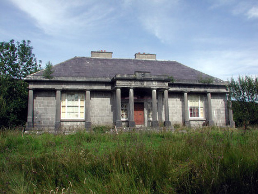 Glenade Housecountry house · 1.6 mi
 Agow TopMountain / peak · 2.8 mi
 Kilroosk RockNamed rock · 3.0 mi
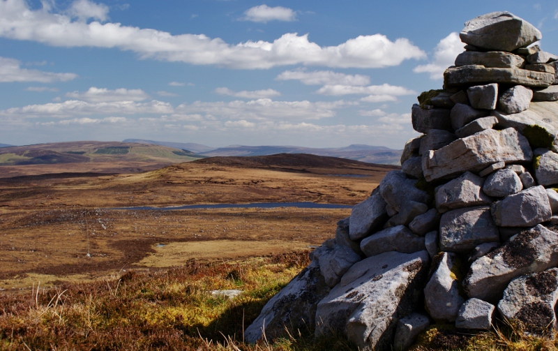 Aganny TopMountain / peak · 3.4 mi
 CastleCastle, unclassified · 3.7 mi
 Giants RockNamed rock · 4.1 mi
Other information
Photo: Credit not shown in the picture search · Rights wording not checked; contact us if this picture should be removed