
What is recorded here
At the head of a small N-S valley on a gentle S-facing mountain slope in an area known as Teampul Shetric. A rectangular blocked-up swallow-hole (dims 11m N-S; 8m E-W; D 2m at S to c. 8m at E and N) was traditionally used as a location where Mass was celebrated, although there is no evidence of a mass-rock and it may have been celebrated in a cave. There are the remains of a small house (int. dims 6.3m E-W; 2.2m N-S) and an adjacent rectangular plot (dims 11m N-S; 9m E-W) defined by drystone walls nearby. (Gallogly 1993-4, 435; 1999, 400)
The above description is derived from 'The Archaeological Inventory of County Leitrim' compiled by Michael J. Moore (Dublin: Stationery Office, 2003). In certain instances the entries have been revised and updated in the light of recent research.
Date of upload: 23 September 2008
Teampul Shetric is associated with St. Stric or Shetric, an early Irish saint whose cult was linked to healing and protection. The site's name and location suggest a tradition of pilgrimage and ritual use, likely connected to a holy well or subterranean water source once considered sacred or curative.
The monument record does not grant public access. Check the route and ask the landowner before entering private land.
- What survives
- Recorded monument
Places near here
 CashelFairy fort / stone ringfort · 729 yd
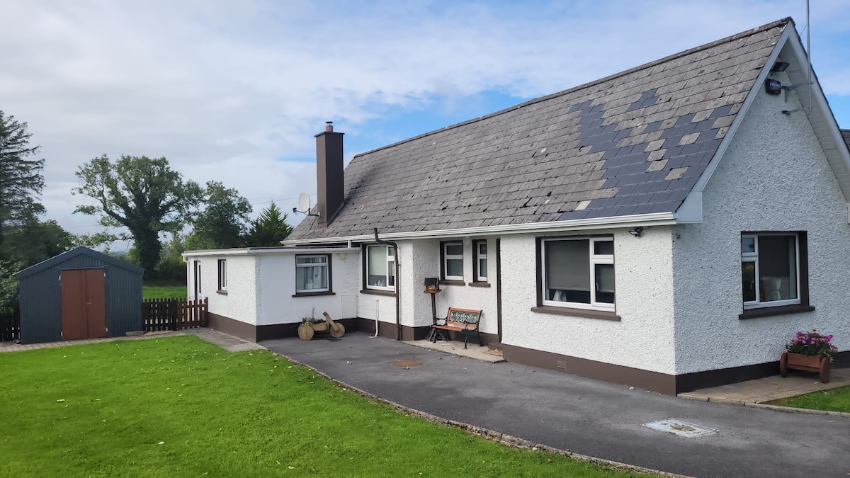 Sweathouse in GorteenaguinnellSweathouse · 860 yd
 Castle CarCastle · 1.7 mi
 Penal Mass station in GortnagarnPenal Mass station · 2.2 mi
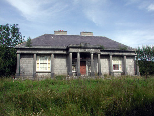 Glenade Housecountry house · 2.2 mi
 Longhill WoodForest · 2.4 mi
 Ashisland WoodForest · 2.7 mi
 Keelogyboy Mountain NE TopMountain / peak · 3.3 mi
 Glencar IslandIslet · 3.4 mi
 Glencar WaterfallVisitor information · 3.5 mi
 Memorial Francis FinnMemorial · 3.6 mi
 Keelogyboy MountainMountain / peak · 3.7 mi
Other information
Photo: Credit not shown in the picture search · Rights wording not checked; contact us if this picture should be removed