
What is recorded here
Located in mixed woodland at the bottom of a slope on the W side of a cleft (dims c. 70m N-S; c. 20m E-W at N to c. 40m at S; D c. 20m). This is at the SW edge of the Dartry Mountains with a N-S stream c. 50m distant emerging from a waterfall along the E side of the cleft that is known as Scregnahaltora – from Crag na h-Altóra, the rock of the altar. This is a drystone-built altar (dims 1.2m NE-SW; 0.8m NW-SE; H 0.9m at SE) with a slab on top (dims 1m x 0.6m; T 0.1m) and a wooden cross fixed at the NW or upslope side of the altar. There is a rectangular enclosure (int. dims 1.2m NW-SE; 1.2m NE-SW) defined by low drystone walls (H 0.2-0.6m) with an entrance (Wth 0.4m) at SE in front of the altar. The children’s burial ground (LE007-00303--) is c. 40m to the NE. (Gallogly 1993-4, 435; 1999, 400)
The above description is derived from 'The Archaeological Inventory of County Leitrim' compiled by Michael J. Moore (Dublin: Stationery Office, 2003). In certain instances the entries have been revised and updated in the light of recent research.
Date of upload: 23 September 2008
The monument record does not grant public access. Check the route and ask the landowner before entering private land.
- What survives
- Recorded monument
Places near here
 Sweat Ho.Sweathouse · 1.2 mi
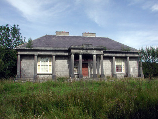 Glenade Housecountry house · 1.3 mi
 St. Patricks WellHoly well · 1.4 mi
 Agow TopMountain / peak · 1.5 mi
 Longhill WoodForest · 1.8 mi
 RC ChapelChurch · 1.9 mi
 Ashisland WoodForest · 1.9 mi
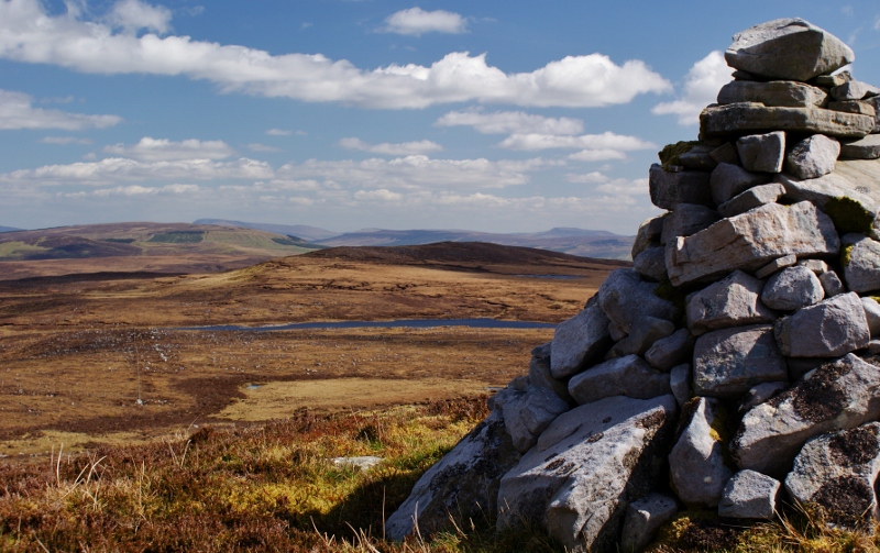 Aganny TopMountain / peak · 2.3 mi
 Kilroosk RockNamed rock · 2.6 mi
 Castle CarCastle · 2.7 mi
 Fowley's FallsPicnic place · 4.2 mi
 Giant's GraveArchaeological place · 4.3 mi
Other information
Photo: Credit not shown in the picture search · Rights wording not checked; contact us if this picture should be removed