What is recorded here
In improved pasture, on the upper contour of an E-facing slope. Circular area (dims. 28m E-W; 26m N-S) defined by scarp (Wth 1.75m; H 1.15m) which has been straightened at NE. Slight causeway (Wth 4m) at N appears modern as there is no corresponding entrance in bank. Fosse (overall Wth 6.95m; basal Wth 2.8m; D 1.15m) WNW-NNW, NE-SW. Outer bank (overall Wth 7.35m; Wth at top 3.1m; int. H 1.35m; ext. H 1m) SE-SW is not seen ENE-SE due to dense growth of vegetation. Interior is level. Enclosed by linear field boundary to S and W. Ringfort (TS061-042----) is c. 30m to NE.
Compiled by: Jean Farrelly
Date of upload: 26 August 2011
The monument record does not grant public access. Check the route and ask the landowner before entering private land.
- What survives
- Recorded monument
Places near here
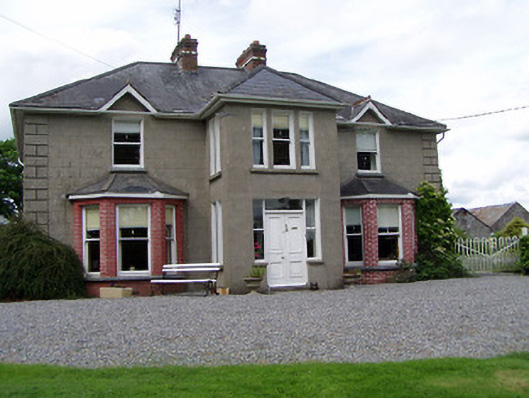 Rathmorehouse · 323 yd
 The GarrisonCastle, tower house · 459 yd
 Kill Church (in ruins)Church · 729 yd
 RathcloghFairy fort / earthen ringfort · 963 yd
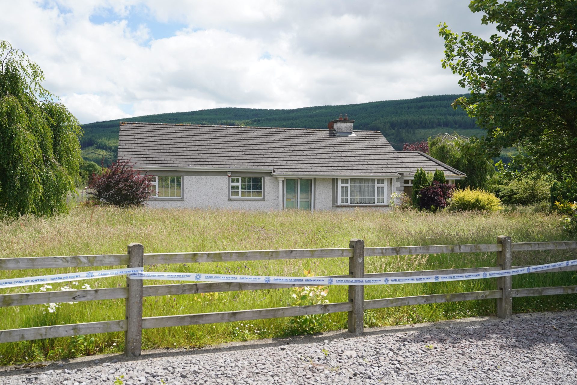 Enclosure in BallyherberryEnclosure · 967 yd
 Castle in RuinsCastle, motte and bailey · 1122 yd
 Ballinure HillMountain / peak · 1.8 mi
 Taylor's WoodWood · 1.9 mi
 Ballyknock HillMountain / peak · 2.6 mi
 Cashel Folk MusuemMuseum · 3.6 mi
 The Rock Of CashelVisitor information · 3.7 mi
 Cormac's ChapelHeritage attraction · 3.7 mi