What is recorded here
Thirty-three metres of grassy circle, cut into the lowland beside a small stream in Cartown, still carry the shape of a fort though no gate remains visible. The earthen bank rises a metre at its southern edge and drops to a faint lip elsewhere, as if the ground itself forgot which part should hold. People may have lived inside, barred the entrance and watched the water move through the flat land, but the fort keeps that much to itself.
Situated in a low-lying position c. 30m from a SE-NW section of a small S-N stream. This monument is visible as a D-shaped feature on aerial photographs (OSAP: 4/1043-4). It is a grass-covered D-shaped area (int. dims 33m E-W; 27m N-S) defined by an earthen bank (Wth 4-5m; int. H 0.15m; ext. H 0.6m generally to 1.1m at S) and a slight external fosse (Wth 2.1-2.5m; max. D 0.5m). There is a straight side at W and the straight S side is formed by an old E-W stream bed. The original entrance is not identified.
The above description is derived from 'The Archaeological Inventory of County Leitrim' compiled by Michael J. Moore (Dublin: Stationery Office, 2003). In certain instances the entries have been revised and updated in the light of recent research.
Date of upload: 23 September 2008
The monument record does not grant public access. Check the route and ask the landowner before entering private land.
- What survives
- Recorded monument
Places near here
 fortsFairy fort / earthen ringfort · 701 yd
 Enclosure in CaldraghEnclosure · 898 yd
 AbbeyChurch · 1321 yd
 PortCastle, unclassified · 1590 yd
 CastlecarraCastle, unclassified · 1.1 mi
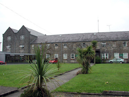 Saint Patrick's Hospitalworkhouse · 1.2 mi
 Shannon-Erne WaterwayVisitor information · 1.8 mi
 Moon RiverHeritage attraction · 1.8 mi
 Battle of Áth an Chipbattle · 2.0 mi
 Hughestown WoodForest · 3.0 mi
 InishnagonIsland · 3.0 mi
 Leabaidh DermotCave · 3.2 mi