What is recorded here
Ballygroman Lower once held a forty-metre earthen ring on a natural platform above the farmyard. The 1842 map still draws its circular line, but human hands have since levelled the ridge into ordinary pasture. The fort disappeared not through neglect but through use, its earth redistributed to build the very yard that truncated it. What remains is a absence shaped like a room, waiting for someone to imagine the walls before they were erased.
In pasture, on natural platform to N of farmyard. Depicted as hachured circular enclosure (diam. c. 40m) on 1842 OS 6-inch map, truncated on S side byfarm yard and building. Levelled; no visible surface trace.
The above description is derived from the published 'Archaeological Inventory of County Cork. Volume 3: Mid Cork' (Dublin: Stationery Office, 1997). In certain instances the entries have been revised and updated in the light of recent research.
Date of upload/revision: 14 January 2009
The monument record does not grant public access. Check the route and ask the landowner before entering private land.
- What survives
- Recorded monument
Places near here
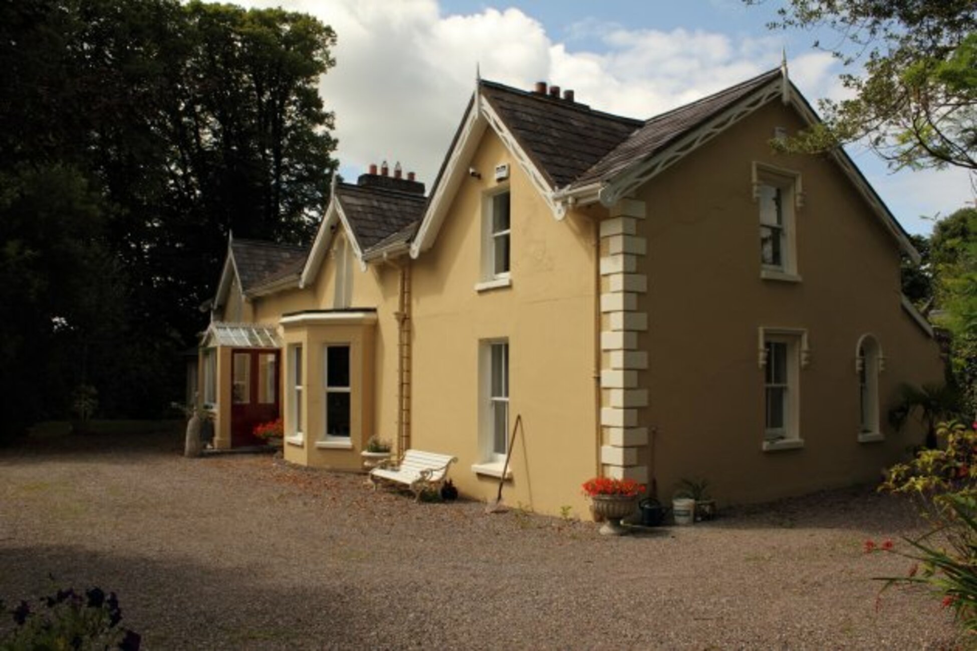 Man-made underground passage in KillumneyMan-made underground passage · 302 yd
 bridgebridge · 673 yd
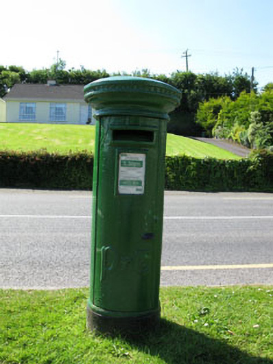 post boxpost box · 716 yd
 Site of Burial GroundBurial ground · 1054 yd
 Grange HillMountain / peak · 1.1 mi
 Graveyard in Carrigane (muskerry East By.)Graveyard · 1.3 mi
 Charlie Hurley MemorialMemorial · 2.3 mi
 Kilcrea Castle (in Ruins)Castle, tower house · 2.3 mi
 Kilcrea CastleWood · 2.3 mi
 Ballyburden Castle (Site of)Castle, unclassified · 2.6 mi
 Cave in Ballincollig (muskerry East By., Carrigrohane Par.)Cave · 3.0 mi
 Corbally Montessori & Early Years' Pre-schoolVisitor information · 3.8 mi