What is recorded here
The following description is derived from both the published 'Archaeological Inventory of County Louth' (Dublin: Stationery Office, 1986) and the 'Archaeological Survey of County Louth' (Dublin: Stationery Office, 1991). In certain instances the entries have been revised and updated in the light of recent research.
Date of upload/revision: 17 July 2007
Circular area (int. diam. 24.5m) enclosed by earthen bank (Wth c. 5.3m, H 1.4m internally, 1.9m externally), fosse (Wth 5.5m) and outer bank (Wth 4.1m, H 2.3m internally, 0.3m externally). Outer bank survives only from N-E-SE. Entrance gap (Wth 2.3m) in inner bank at SW; S half of interior covered in quarry depressions.
The monument record does not grant public access. Check the route and ask the landowner before entering private land.
- What survives
- Recorded monument
Places near here
 Enclosure in Mullaghattin (dundalk Lwr By; Carlingford Par.)Enclosure · 437 yd
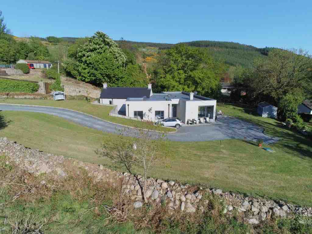 Enclosure in BallavertyEnclosure · 511 yd
 The BushPicnic place · 780 yd
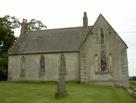 Saint Andrew's Church (Carlingford)school · 820 yd
 Castletown Househouse · 1339 yd
 Grange UpperMountain / peak · 1365 yd
 Cooley CastleCastle, tower house · 1400 yd
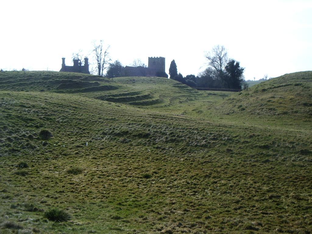 CastleCastle, motte · 1.0 mi
 BarnavaveMountain / peak · 1.8 mi
 Carlingford - Loop 1A- Commons LoopWalking route · 2.4 mi
 St James WellSpring · 2.6 mi
 Graveyard in Liberties OF CarlingfordGraveyard · 2.6 mi