What is recorded here
Twenty-one metres across in Ballaverty, the ringfort still stands with a stone-lined gap and a buried mound at its heart. People called it a fairy fort, perhaps because the true owners vanished before records began. The fairies may have simply inherited what human hands built and then forgot.
The following description is derived from both the published 'Archaeological Inventory of County Louth' (Dublin: Stationery Office, 1986) and the 'Archaeological Survey of County Louth' (Dublin: Stationery Office, 1991). In certain instances the entries have been revised and updated in the light of recent research.
Date of upload/revision: 17 July 2007
Circular area (int. diam. 21m) enclosed by stone-faced earthen bank (Wth 2.5m, H 0.5m internally, 1.1m externally) with traces of external fosse. Entrance gap (Wth 1.3m) lined by boulders, at WSW. Remains of sub-circular low mound (5.7m NW-SE, 4.7m NE-SW) at centre of interior possibly represents a house site (LH008-075002-).
The monument record does not grant public access. Check the route and ask the landowner before entering private land.
- What survives
- Recorded monument
Places near here
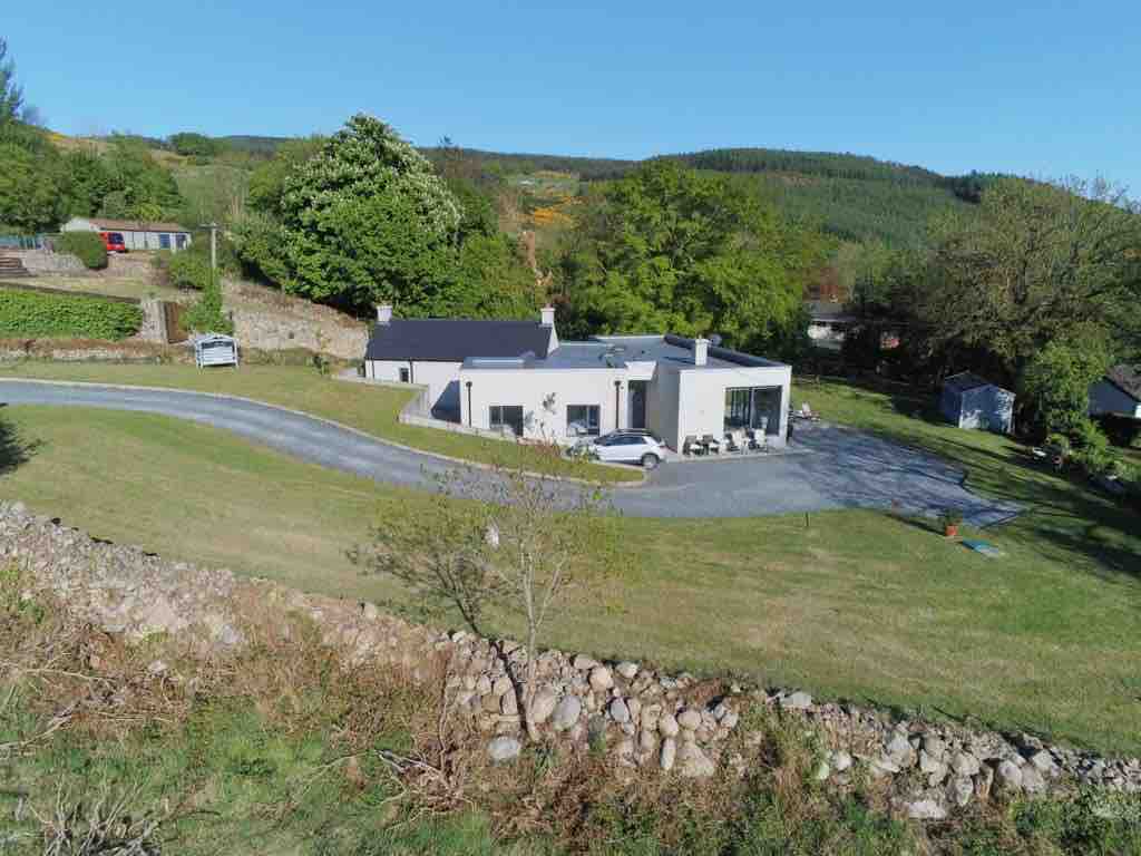 Enclosure in BallavertyEnclosure · 388 yd
 Enclosure in Mullaghattin (dundalk Lwr By; Carlingford Par.)Enclosure · 516 yd
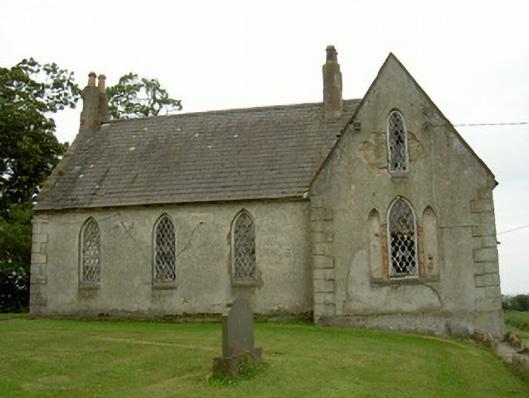 Saint Andrew's Church (Carlingford)school · 988 yd
 The BushPicnic place · 1004 yd
 Castletown Househouse · 1049 yd
 Cooley CastleCastle, tower house · 1109 yd
 Grange UpperMountain / peak · 1376 yd
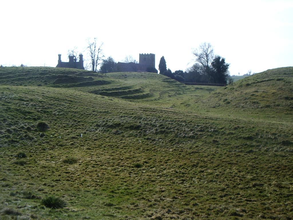 CastleCastle, motte · 1551 yd
 BarnavaveMountain / peak · 1.8 mi
 Carlingford - Loop 1A- Commons LoopWalking route · 2.5 mi
 Graveyard in Liberties OF CarlingfordGraveyard · 2.7 mi
 Carlingford Heritage CentreVisitor information · 2.7 mi