What is recorded here
On relatively flat terrain in gently undulating pasture on Annesgift Estate. Enclosure (TS062-114----) was located c. 120m to E. Large circular trivallate ringfort (diam. 52m N-S; 51m E-W) planted with mature beech trees, probably modified as a tree-ring. Monument is enclosed by a bank (Wth 5.6-9.3m; int. H 0.27-1.21m; ext. H 1.7-3.67m); fosse (Wth 2.1-6.6m; D 1.66-2.07m); bank (Wth 6.2-9m; ext. H 1.2-2.05m); fosse (Wth 2.3m; D 0.9-1.31m) and outer bank (Wth 4.4-7.3m; ext. H 1m). Causeway (Wth 2.8m) over fosse in NW quadrant but no corresponding break in the inner or outer bank. Fosse is waterlogged in places. Inner bank is reduced to scarp in S quadrant and outer bank and fosse are not evident from S-SW. In the SE sector the outer bank merges with a field bank and projects out to form a triangular area.
Compiled by: Jean Farrelly
Date of upload: 26 August 2011
A large circular trivallate ringfort in Annesgift, likely dating to the early medieval period, with a diameter of approximately 52m. Known locally as a fairy fort, it is associated with folklore surrounding faerie activity and is planted with mature beech trees.
The monument record does not grant public access. Check the route and ask the landowner before entering private land.
- What survives
- Recorded monument
Places near here
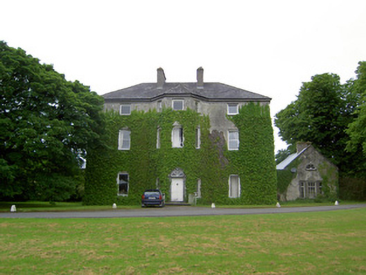 Anne's Giftcountry house · 418 yd
 Enclosure in AnnesgiftEnclosure · 693 yd
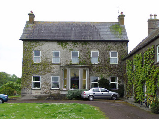 Rathcoole Castlehouse · 939 yd
 IndicatedCastle, motte · 960 yd
 CastleCastle, ringwork · 1266 yd
 RathavinFairy fort / earthen ringfort · 1.2 mi
 Kilknockan HillMountain / peak · 1.9 mi
 European YewEuropean Yew · 2.1 mi
 East GateMemorial · 2.2 mi
 Grove WoodForest · 3.2 mi
 Ballinure HillMountain / peak · 5.4 mi
 Rathcool Church (in ruins)Church · 1171 yd