
What is recorded here
Embanked enclosure is a fairy fort or earthen ringfort in Rockingham Demesne (boyle By., Rockingham.ed), County Roscommon, Ireland. The subcircular grass-covered area sits towards the bottom of the NW-facing slope of a low hill. An earthen bank and outer flat-bottomed fosse surround the space, although no visible entrance remains. Three other ancient earthworks stand within 120m in different directions.
Towards the bottom of the NW-facing slope of a low hill. Subcircular grass-covered area (dims 32.5m E-W; 28m N-S) defined by an earthen bank (Wth 6-6.6m; int. H 0.2m generally to 1.35m at E; ext. H 0.8m at S to 1.45m at E) NE-S-SW, and at NW, which is reduced to a scarp (H 0.8m at W to 1.75m at N) elsewhere. There is an outer flat-bottomed fosse (Wth of top 5.7m at W to 6.5m at E; D 0.05-0.7m) NE-S-W, but there is no visible entrance. Rath (RO006-099----) is c. 70m to the NE, rath (RO006-097----) is c. 120m to the NW, and cashel (RO006-101----) is c. 50m to the SSW.
Compiled by: Michael Moore
Date of upload: 24 August 2010
The monument record does not grant public access. Check the route and ask the landowner before entering private land.
- What survives
- Recorded monument
Places near here
 Embanked enclosureFairy fort / earthen ringfort · 146 yd
 IndicatedFairy fort / earthen ringfort · 309 yd
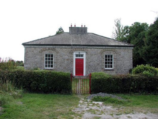 worker's houseworker's house · 696 yd
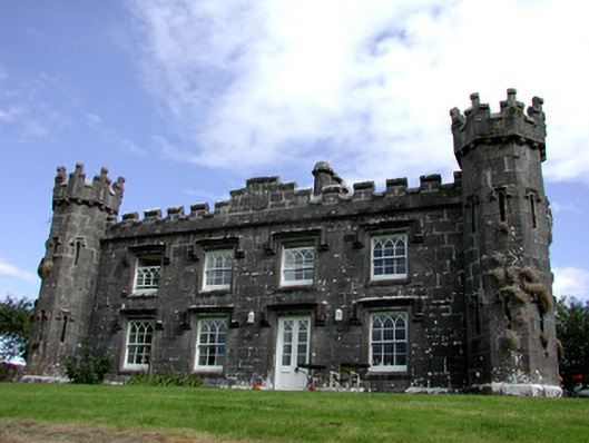 Rockingham Househunting/fishing lodge · 764 yd
 Longford HillMountain / peak · 1224 yd
 Horse-chestnutHorse-chestnut · 1.1 mi
 Lough Key Forest ParkWood · 1.2 mi
 Western RedcedarWestern Redcedar · 1.2 mi
 Castle IslandIslet · 1.2 mi
 Green IslandIslet · 1.4 mi
 Erris BayBay · 1.8 mi
 Moylung Castle (in ruins)Castle, unclassified · 2.7 mi
Other information
Photo: Credit not shown in the picture search · Rights wording not checked; contact us if this picture should be removed