
What is recorded here
Moylung Castle stands as a broken rectangular tower inside a triangular bawn, marked by repeated destruction and rebuilds among the Mac Dermot and O'Donnell families. It was demolished in 1487, re-built in 1492, plundered in 1512, destroyed again in 1527, and burned in 1562 during a local power struggle. The ruins still hold a corner tower base and wall lines on a low promontory, witnessing how often violence and patience shared the same stone.
In 1487 Aedh Roe O'Donnell demolished the castle of the sons of Rory Mac Dermot (KM 1478-86) at Baile na hUamha (AFM vol. 4, 1153), but it was re-built, perhaps at a different location (see RO010-033----) in 1492 by the sons of Aedh (KM 1458-65) (AFM vol. 4, 1199). It was plundered by the Earl of Kildare in 1512 and captured and destroyed by O'Donnell again in 1527 (AFM vol. 5, 1317, 1391). In 1562 the Sliocht Eoghan (KM 1533-4), in their struggle for power with their uncle Rory (KM 1549-68), brought gallowglasses into Moylurg and burned Baile na hUamha (ALC 2, 384). By this time the castle and lands were rented by descendants of Dermot Ruadh of Tir Tuathail, and the castle was confirmed to another descendent, Cathal Mac Fergainm, in 1617. By 1635 the lands had reverted to Brian Óg Mac Dermot (Chief 1603-36). (Mac Dermot 1996, 123-4, 142, 296, 456)
Situated on a low N-S promontory, jutting N and overlooking lower marshy ground to the W, N and E. It consists of the base of a rectangular tower (int. dims 11m N-S; 5.65m E-W) defined by the foundations of walls (Wth 2.5m; H 0.8m) situated about half way along the W side of a triangular (dims c. 70m N-S; 10m E-W at N; c. 30m E-W at S) bawn (RO010-010002-), which is defined by the natural scarps at E and W and the foundations of a wall (Wth 1m; L3m) and a grass-covered stone spread (Wth 5.3m; H 0.3m) at S (L 23m) which has the base of a circular corner tower (int. diam. 2m) defined by a masonry wall (Wth 1.6m; H 0.3m) at its W end. Ballynahoogh castle (RO010-033----) is c. 1km to the SSW, and standing stone (RO010-011----) is c. 140m to the E.
Compiled by: Michael Moore
Date of upload: 24 August 2010
Moylung Castle was rebuilt in 1492, likely by the descendants of Rory Mac Dermot following its demolition in 1487 by Aedh Roe O'Donnell. It is remembered for its strategic role in the ongoing conflicts between Gaelic Irish clans in the late 15th century.
The monument record does not grant public access. Check the route and ask the landowner before entering private land.
- What survives
- Recorded monument
Places near here
 R. C. ChapelChurch · 287 yd
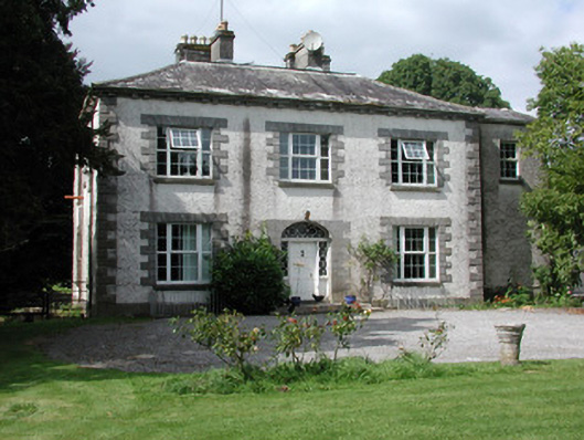 Moylurg Housecountry house · 404 yd
 ToberlonaunHoly well · 608 yd
 IndicatedGraveyard · 792 yd
 Lough Key Forest ParkWood · 2.9 mi
 Longford HillMountain / peak · 3.2 mi
 Horse-chestnutHorse-chestnut · 3.2 mi
 Erris BayBay · 3.3 mi
 Western RedcedarWestern Redcedar · 3.3 mi
 Castle (Site of)Castle, unclassified · 3.3 mi
 Boyle AbbeyHeritage attraction · 3.4 mi
 King William MemorialMonument · 3.5 mi
Other information
Photo: Credit not shown in the picture search · Rights wording not checked; contact us if this picture should be removed