What is recorded here
Marked similarly on the 1837 and 1914 eds. of the OS 6-inch map, and situated on the marshy S shore of Clogher Lake (dims c. 1 km E-W; c. 100-200m N-S), c. 50m from the lake. Regarded as a holy well with a cure for headaches (OS Name Books), it was used in 1971 as a domestic water source (Gannon 1972) but is no longer visible at ground level. Crannog (RO010-031----) is c. 180m to the N at the N edge of the lake.
From the National Monuments Service (Archaeological Survey of Ireland) record RO010-032
The monument record does not grant public access. Check the route and ask the landowner before entering private land.
- What survives
- Recorded monument
Places near here
TobernooneHoly well · 522 ydMoylung Castle (in ruins)Castle, unclassified · 608 yd IndicatedGraveyard · 614 ydMoylurg HouseCountry house · 660 ydCroghan SchoolSchool · 1.3 miLough Key Forest ParkWood · 3.2 miHorse-chestnut3.5 miWestern Redcedar3.6 miBoyle AbbeyHeritage attraction · 3.8 miCastle IslandIslet · 3.9 miHog's IslandIslet · 4.7 miBattle of Curlew PassMajor battlefield · 5.4 mi
 IndicatedGraveyard · 614 yd
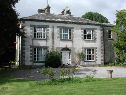 Moylurg HouseCountry house · 660 yd
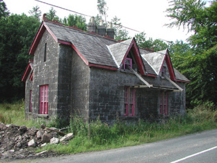 Croghan SchoolSchool · 1.3 mi
 Lough Key Forest ParkWood · 3.2 mi
 Horse-chestnut3.5 mi
 Western Redcedar3.6 mi
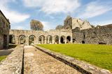 Boyle AbbeyHeritage attraction · 3.8 mi
 Castle IslandIslet · 3.9 mi
 Hog's IslandIslet · 4.7 mi
 Battle of Curlew PassMajor battlefield · 5.4 mi
Pictures: Kieran Campbell, Geograph · Creative Commons Attribution-ShareAlike 2.0; National Inventory of Architectural Heritage; jbraine, Wikimedia Commons · CC BY 2.0; Stephan van Helden, Wikimedia Commons · CC BY-SA 4.0; abdallahh from Montréal, Canada, Wikimedia Commons · CC BY 2.0; Digital Eye, Wikimedia Commons · CC BY-SA 4.0; Suse, Geograph · CC BY-SA 2.0; Oliver Dixon, Geograph · CC BY-SA 2.0; Gavigan 01 at English Wikipedia, Wikimedia Commons · CC BY 2.5
More archaeology and monuments in County Roscommon · All of County Roscommon
What do you know about this place?