
What is recorded here
Marked as a church on a Longfield estate maps of 1811 in NLI (MS. 21.F.44 (41); MS. 16. D. 16) and described in gothic script as an RC Chapel on the 1837 ed. of the OS 6-inch map. Situated on rough ground with rock outcrop, it is not visible at ground level.
Compiled by: Michael Moore
Date of upload: 24 August 2010
R. C. Chapel, Clogher (Boyle By.) was built as a Roman Catholic chapel in the early 19th century, likely before 1811, and is noted in Gothic script on the 1837 Ordnance Survey map. Its location on rough ground with rock outcrops suggests a rural, possibly modest structure, reflecting the need for discreet worship during a period of religious restriction in Ireland.
The monument record does not grant public access. Check the route and ask the landowner before entering private land.
- What survives
- Recorded monument
Places near here
 Moylung Castle (in ruins)Castle, unclassified · 287 yd
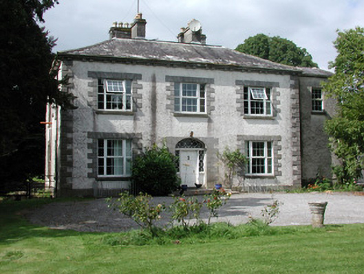 Moylurg Housecountry house · 467 yd
 ToberlonaunHoly well · 885 yd
 TobernooneHoly well · 1085 yd
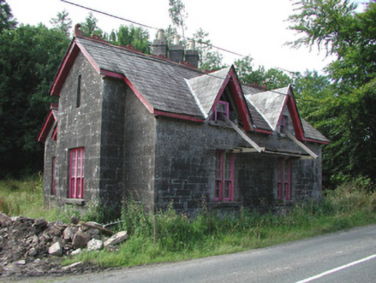 Croghan Schoolschool · 1.8 mi
 Lough Key Forest ParkWood · 2.8 mi
 Longford HillMountain / peak · 3.1 mi
 Horse-chestnutHorse-chestnut · 3.1 mi
 Erris BayBay · 3.1 mi
 Western RedcedarWestern Redcedar · 3.2 mi
 Boyle AbbeyHeritage attraction · 3.3 mi
 King William MemorialMonument · 3.3 mi
Other information
Photo: Credit not shown in the picture search · Rights wording not checked; contact us if this picture should be removed