
What is recorded here
Embanked enclosure is a fairy fort or earthen ringfort in Rockingham Demesne (boyle By., Rockingham.ed), County Roscommon, Ireland. It appears as a circular embanked enclosure about 45m across on the 1837 Ordnance Survey map and sits towards the bottom of a northwest-facing slope. The surviving D-shaped grass area measures about 32m east-west and 20m north-south, with a low scarp along its east, south and west edges; quarrying removed the northern half. A rath lies about 120m to the southeast.
Marked as a circular embanked enclosure (diam. c. 45m) on the 1837 ed. of the OS 6-inch map, and sitauted towards the bottom of a NW-facing slope. D-shaped grass-covered area (dims c. 32m E-W; c. 20m N-S) defined by a scarp (H 0.2-0.4m) E-S-W, but the N half is removed by quarrying. Rath (RO006-100----) is c. 120m to the SE.
Compiled by: Michael Moore
Date of upload: 24 August 2010
The monument record does not grant public access. Check the route and ask the landowner before entering private land.
- What survives
- Recorded monument
Places near here
 IndicatedFairy fort / earthen ringfort · 324 yd
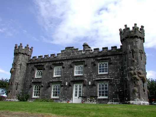 Rockingham Househunting/fishing lodge · 742 yd
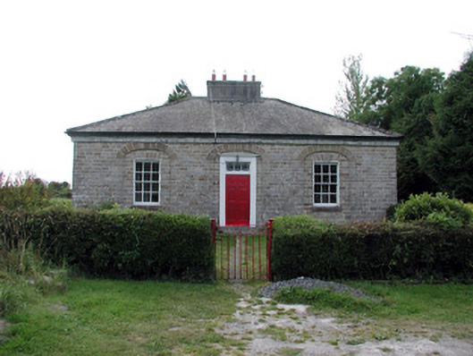 worker's houseworker's house · 751 yd
 Longford HillMountain / peak · 1103 yd
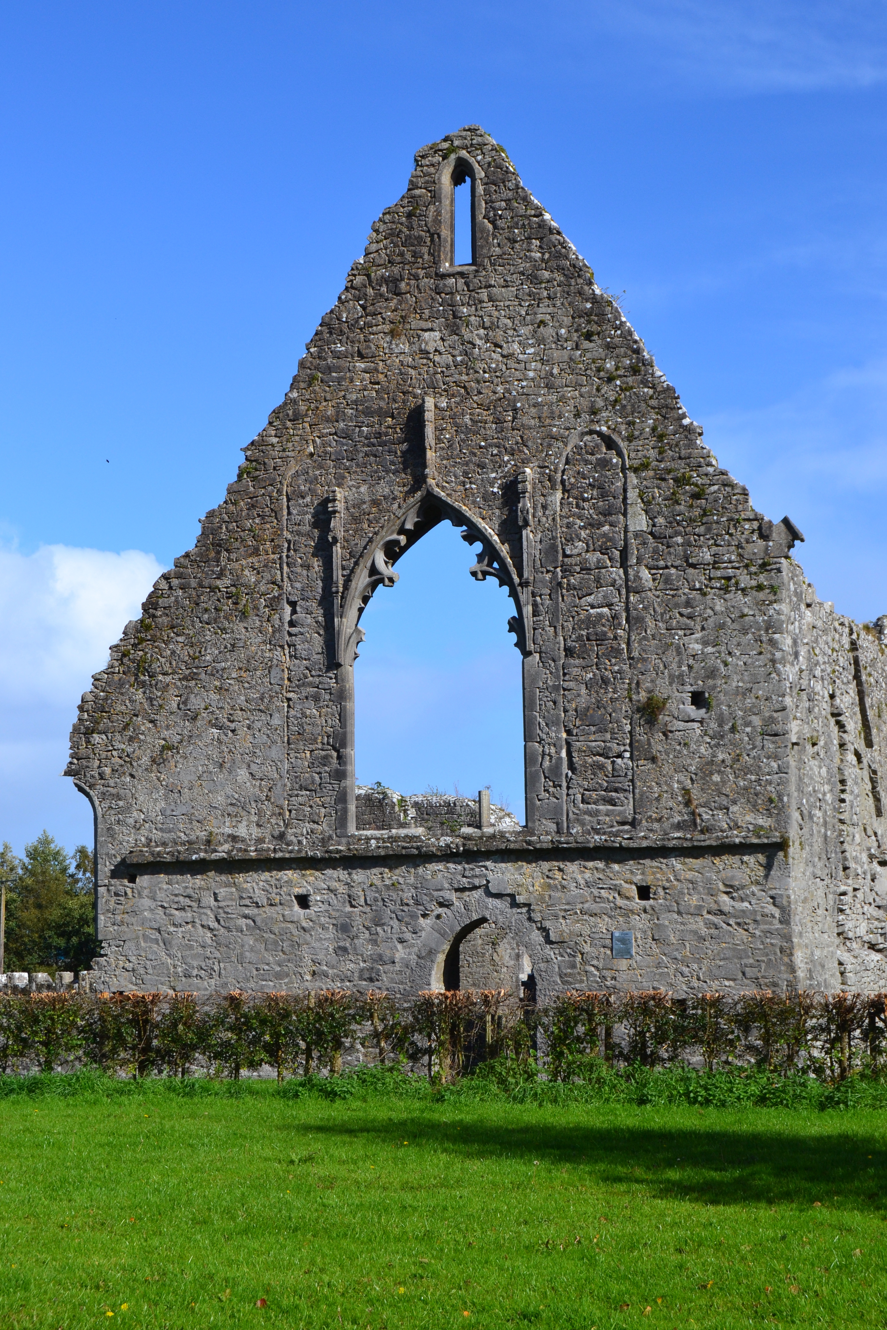 Templemihil (Site of)Church · 1210 yd
 Horse-chestnutHorse-chestnut · 1709 yd
 Lough Key Forest ParkWood · 1.1 mi
 Western RedcedarWestern Redcedar · 1.1 mi
 Castle IslandIslet · 1.2 mi
 Green IslandIslet · 1.3 mi
 Erris BayBay · 1.7 mi
 Moylung Castle (in ruins)Castle, unclassified · 2.7 mi
Other information
Photo: Credit not shown in the picture search · Rights wording not checked; contact us if this picture should be removed