
What is recorded here
Indicated is a fairy fort or earthen ringfort in Rockingham Demesne (boyle By., Rockingham.ed), County Roscommon, Ireland. It appears as a circular grass-covered area thirty-six to thirty-seven metres across, bordered by mature deciduous trees and a shallow outer ditch. The site sits towards the bottom of a west-facing slope, with two other raths located one hundred and twenty metres away to the southwest and southeast.
Marked as a tree-ring (diam. c. 45m) on the 1837 ed. of the OS 6-inch map, and situated towards the bottom of a W-facing slope. Circular grass-covered area (diam. 36-37m) planted with mature deciduouos trees on the perimeter which is defined by a scarp (H 0.4-1m), with an outer fosse (Wth of top 3-3.5m; D 0.1-0.2m) W-N. There is no visible entrance. Rath (RO006-099----) is c. 120m to the SW, and rath (RO006-102001-) is c. 120m to the SE.
Compiled by: Michael Moore
Date of upload: 24 August 2010
The monument record does not grant public access. Check the route and ask the landowner before entering private land.
- What survives
- Recorded monument
Places near here
 Embanked enclosureFairy fort / earthen ringfort · 324 yd
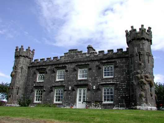 Rockingham Househunting/fishing lodge · 459 yd
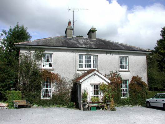 The Old Rectoryrectory/glebe/vicarage/curate's house · 904 yd
 Longford HillMountain / peak · 1055 yd
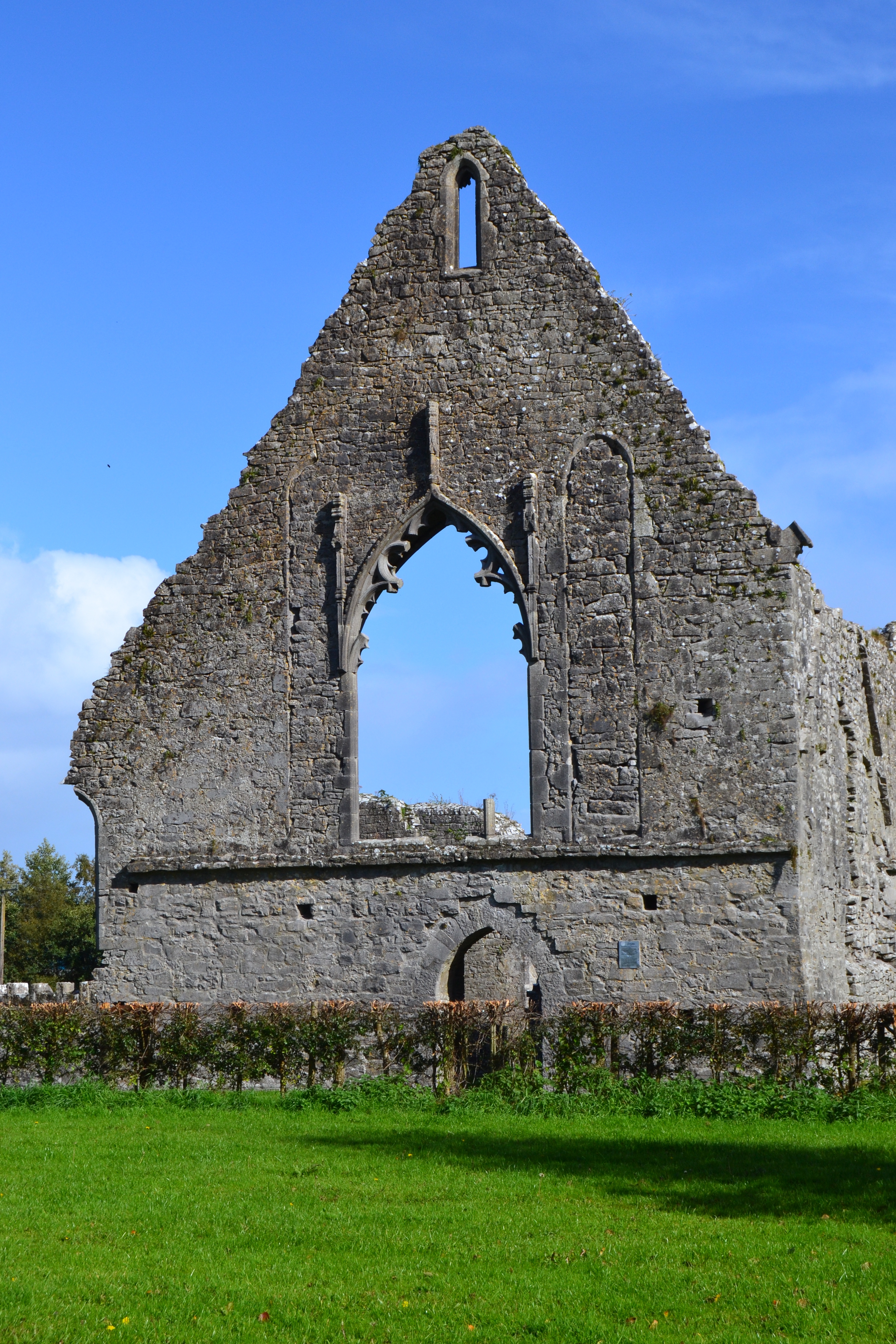 Templemihil (Site of)Church · 1198 yd
 Horse-chestnutHorse-chestnut · 1.0 mi
 Western RedcedarWestern Redcedar · 1.1 mi
 Castle IslandIslet · 1.2 mi
 Lough Key Forest ParkWood · 1.2 mi
 Green IslandIslet · 1.3 mi
 Erris BayBay · 1.8 mi
 Moylung Castle (in ruins)Castle, unclassified · 2.8 mi
Other information
Photo: Credit not shown in the picture search · Rights wording not checked; contact us if this picture should be removed