What is recorded here
In arable. Levelled enclosure surviving as distinctive rise in field defined by relatively flat top (dims. c. 34m E-W) and gently sloping scarp (Wth c. 10-12m; H c. 1.2m) NE-S-NW. Truncated by road (long axis E-W) to N. Depicted on latest edition OS 6-inch map as circular area (dims. 70m N-S; 70m E-W) defined by earthen bank NE-E-SW and truncated by road to N. Internal features noted within on map and these may correspond to areas of differential growth noted during field survey. According to Cahill (1982) the enclosure consisted of a bank and fosse in poor condition and the interior had been quarried.
Compiled by: Jean Farrelly
Date of upload: 26 August 2011
The monument record does not grant public access. Check the route and ask the landowner before entering private land.
- What survives
- Recorded monument
Places near here
 Enclosure in AnnesgiftEnclosure · 424 yd
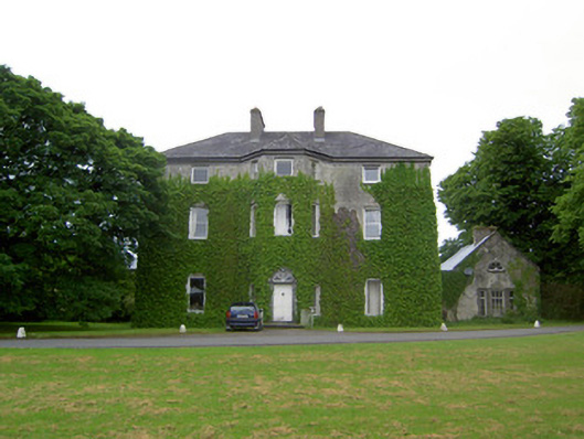 Anne's Giftcountry house · 568 yd
 Derryluskan Househouse · 871 yd
 IndicatedCastle, motte · 1465 yd
 CastleCastle, ringwork · 1.1 mi
 Settlement desertedSettlement deserted, medieval · 1.3 mi
 Kilknockan HillMountain / peak · 2.2 mi
 European YewEuropean Yew · 2.3 mi
 East GateMemorial · 2.3 mi
 Grove WoodForest · 3.2 mi
 Eagle HillMountain / peak · 6.1 mi
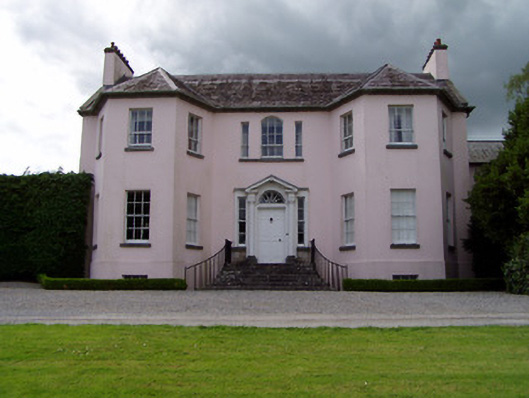 Ardsallagh Housefarmyard complex · 1387 yd