What is recorded here
Fairy fort / earthen ringfort in Creggstown is a fairy fort or earthen ringfort in Creggstown, County Westmeath, Ireland. The 1913 edition of the Ordnance Survey 25-inch map depicts the site as a roughly oval-shaped earthwork with approximate dimensions of 42 metres on a northwest to southeast axis and 34 metres on a northeast to southwest axis. A 1970 description records the monument as a circular-shaped area enclosed by two banks with a wide intervening space, noting that the banks are best preserved in the east-southeast through south through west to west-northwest arc.
Situated on a rise, in gently undulating pasture. Annotated 'Fort' on the 1837 OS Fair Plan map. Depicted on the revised 1913 ed. OS 25-inch map as a roughly oval-shaped earthwork (approx. dims. 42m NW-SE; 34m NE-SW). Monument described in 1970 as a circular-shaped area enclosed by two banks with a wide intervening space. The banks are best preserved ESE-S-W-WNW and are disturbed by quarrying in places. The original entrance is not clearly visible. The NNE quadrant of the monument is truncated by a road running WNW-ESE. Monument is visible as a tree-lined earthwork on Digital Globe aerial photography.
Compiled by Alison McQueen, Vera Rahilly and Caimin O’Brien.
Date of upload: 08 July 2019
The monument record does not grant public access. Check the route and ask the landowner before entering private land.
- What survives
- Recorded monument
Places near here
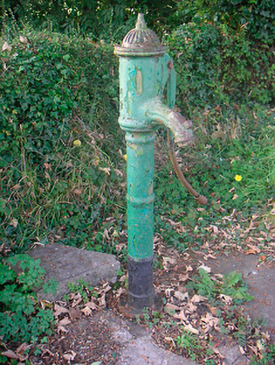 water pumpwater pump · 435 yd
 Creggstown Househouse · 856 yd
 Enclosure in Joristown LowerEnclosure · 1164 yd
 Man-made underground passage in Higginstown (farbill By.)Man-made underground passage · 1316 yd
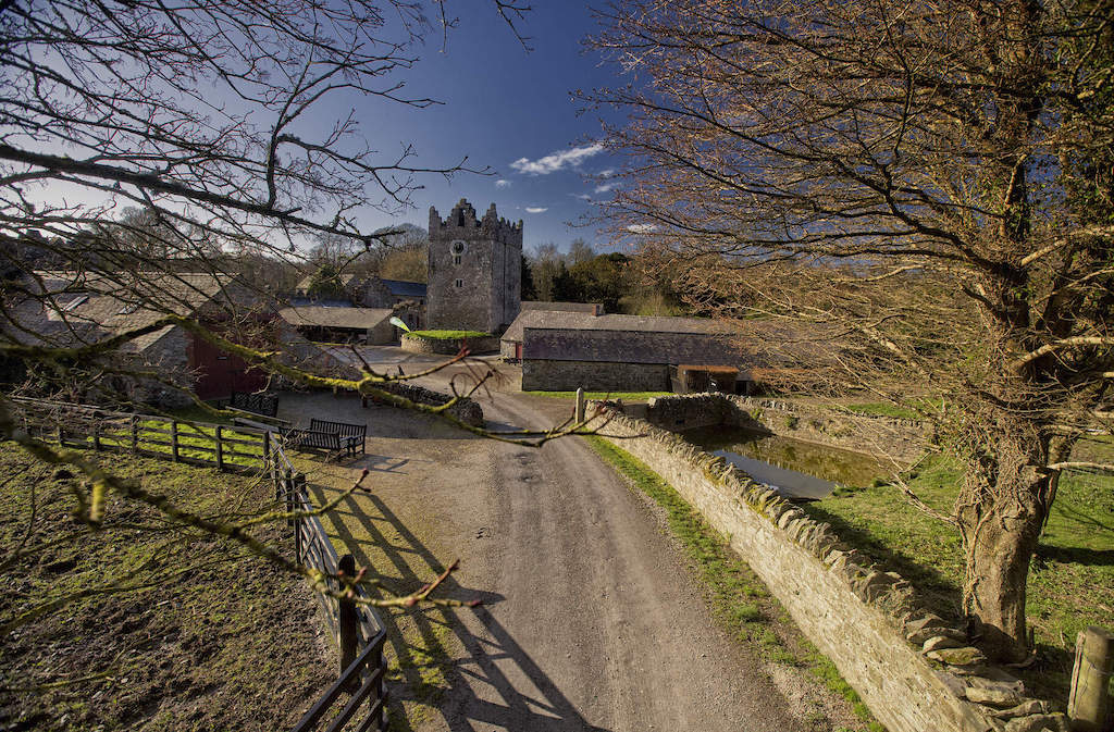 CastleCastle, unclassified · 1.8 mi
 Edmondstown Castle (in Ruins)Castle, tower house · 2.0 mi
 GinkgoGinkgo · 3.2 mi
 ScregganWood · 3.6 mi
 Croppies' GraveMemorial · 8.2 mi
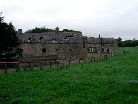 Joristown Housefarmyard complex, house · 1222 yd
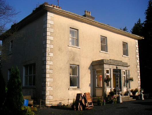 Corbetstown Househouse · 1457 yd
 Enclosure in CorbetstownEnclosure · 1583 yd