What is recorded here
In low-lying pasture. This almost flat-topped, long, upright stone (H 1.05; Wth 1.2m; T 0.55m) is aligned NNW-SSE.
Compiled by: Patrick F. O'Donovan
Date of upload: 1 March 2012
The monument record does not grant public access. Check the route and ask the landowner before entering private land.
- What survives
- Recorded monument
Places near here
 BarrowBarrow, pond barrow · 199 yd
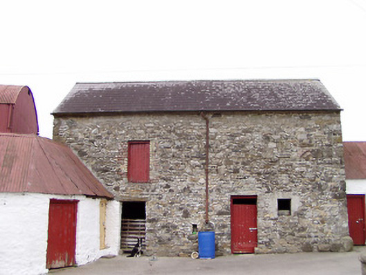 Columbia Houseoutbuilding · 674 yd
 Enclosure in TullygullinEnclosure · 937 yd
 Creevy Househouse · 1046 yd
 CartronfreeMountain / peak · 1.1 mi
 Bakers FortCastle, ringwork · 2.0 mi
 CarrickabaneMountain / peak · 2.2 mi
 1798 Monumentmonument · 2.2 mi
 Granard MotteMotte-and-bailey castle remains · 2.3 mi
 CastleCastle, unclassified · 2.3 mi
 Moynagh Upper ForestForest · 2.7 mi
 Carrick RockWood · 3.0 mi