What is recorded here
On a NNW-facing slope in pasture. Indicated on all editions of the OS 6-inch map. This irregularly shaped, limestone block (H c. 2m; Wth 1.3m; T 0.3m) is aligned NNE-SSW. A possible pond- barrow (LF011-008----) lies c. 55m to the NE and a stone circle (LF011-007----) is c. 760m to the WNW. (Fredengren et al. 2010, 104, Pl. 3.12)
Compiled by: Patrick F. O'Donovan
Date of upload: 1 March 2012
Probably dating to the Neolithic or Bronze Age, this standing stone may have had ritual or territorial significance, possibly linked to the nearby possible pond-barrow as part of a wider ceremonial landscape. Local folklore or specific use is not recorded.
The monument record does not grant public access. Check the route and ask the landowner before entering private land.
- What survives
- Recorded monument
Places near here
 BarrowBarrow, pond barrow · 79 yd
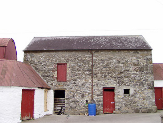 Columbia Houseoutbuilding · 433 yd
 Enclosure in TullygullinEnclosure · 963 yd
 Creevy Househouse · 1286 yd
 CartronfreeMountain / peak · 1.1 mi
 Bakers FortCastle, ringwork · 2.0 mi
 1798 Monumentmonument · 2.2 mi
 Granard MotteMotte-and-bailey castle remains · 2.3 mi
 CastleCastle, unclassified · 2.3 mi
 CarrickabaneMountain / peak · 2.3 mi
 Moynagh Upper ForestForest · 2.8 mi
 Carrick RockWood · 3.1 mi