What is recorded here
Situated on a slight rise, in pasture. Monument described in 1971 as a small oval-shaped area (approx. dims. 42m N-S; 39m E-W) defined by a low scarp. There is no visible trace of an outer fosse. The perimeter is formed by a relatively modern rubble wall from NW-N-NNE. There is no entrance feature visible. The interior is not readily visible as it is obscured by dense overgrowth.
Compiled by: Alison McQueen, Vera Rahilly and Caimin O’Brien
Date of upload: 16 July 2019
This remains an important historical record, but the official description says the monument is no longer visible or has been destroyed. The monument record does not grant public access. Check the route and ask the landowner before entering private land.
- What survives
- No visible remains or recorded as destroyed
Places near here
 OutlinedFairy fort / earthen ringfort · 377 yd
 Thatch IslandIslet · 852 yd
 Green IslandIslet · 967 yd
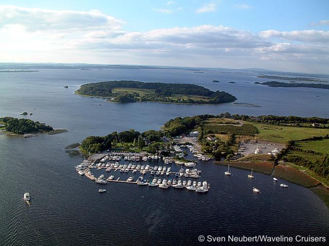 Killinure PointHeadland · 1228 yd
 CastleCastle, unclassified · 1428 yd
 Church (in Ruins)Church · 1.0 mi
 Ecclesiastical enclosure in Hare IslandEcclesiastical enclosure · 1.1 mi
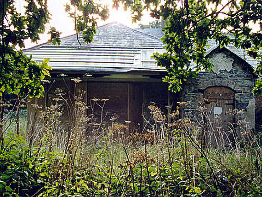 The Lodgehunting/fishing lodge · 1.2 mi
 Crannells NookBay · 1.6 mi
 Siege of Athlonesiege · 1.7 mi