
What is recorded here
Situated on a gentle E-facing slope, in pasture with good views overlooking Coosan Lough to E and S. Partially levelled monument described in 1971 and 1976 as a subcircular-shaped area (40.5m N-S; 37.5m E-W) enclosed by traces of a low earthen bank from W-N-E-S, which has been incorporated into a field boundary from S-W. There is no definite trace of an eternal fosse. A modern stone wall has been built against the scarp from ESE-S-W. The original entrance is not recognisable. The interior has a gentle WNW-facing slope and Man-made underground passage (WM022-038001-) is located within the W quadrant.
Compiled by: Alison McQueen, Vera Rahilly and Caimin O’Brien
Date of upload: 17 July 2019
The monument record does not grant public access. Check the route and ask the landowner before entering private land.
- What survives
- Recorded monument
Places near here
 Thatch IslandIslet · 823 yd
 CastleCastle, unclassified · 1158 yd
 Green IslandIslet · 1337 yd
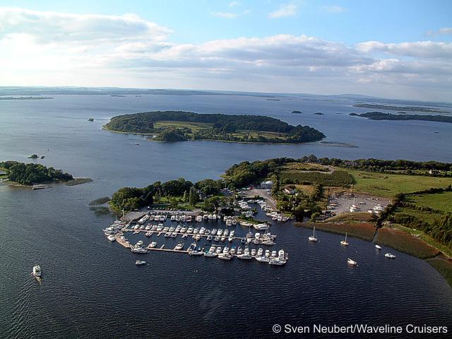 Killinure PointHeadland · 1526 yd
 Catholic Church of Our Lady Queen of Peacechurch/chapel · 1.1 mi
 Church (in Ruins)Church · 1.2 mi
 Ecclesiastical enclosure in Hare IslandEcclesiastical enclosure · 1.3 mi
 Siege of Athlonesiege · 1.6 mi
 Promontory fortPromontory fort, inland · 1.6 mi
 Crannells NookBay · 1.8 mi
Other information
Photo: Credit not shown in the picture search · Rights wording not checked; contact us if this picture should be removed