
What is recorded here
Situated 75m N of Lords Harbour on SE shoreline of Hare Island also known as Inis Aingin at SE end of Lough Ree and 320km NW of the shoreline of Killinure, County Westmeath. According to O'Hanlon (1873, 213, 219), St. Ciarán established an early monastic foundation on Inis Aingin in the early 6th century before proceeding to Clonmacnoise, he was succeeded by Enna Mac Hui-Laigsi as abbot of Inis Aingin. According to Swan (1988, 18) the line of the Early Christian ecclesiastical enclosure was clearly visible in fields to E, N, and W of the Romanesque church (WM022-028----) on Hare Island. In 1978 the church was described as standing inside an oval-shaped bivallate ecclesiastical enclosure (diam. 53m N-S x 47m E-W) defined by a broad earthen bank with the remains of a second low earthen bank extending in an arc from the old shore line on the W to the N & to the old shore line on the E. The large area between the outer bank & the inner oval enclosure is crossed by several radial banks. Two roughly parallel radial banks on the W side may represent an original entrance feature Adjoining the outer bank on the N is a large subrectangular-shaped area enclosed by a broad low earthen bank. This may represent an annexe associated with the monastic enclosure. Other banks in the vicinity appear to belong to the post-1700 tree planting or landscaping. There are local reports of human burials having been found both in the inner enclosure and in the space between the ramparts, which suggests that this area was used as a graveyard (WM022-028003-) the church. In 1822 a 9th century cross-slab (WM022-028002-) was recorded lying on the ground inside the monastic enclosure (Petrie 1872, 45).
Compiled and revised by: Caimin O’Brien
Date of revised upload: 16 July 2019
A likely early-medieval ecclesiastical enclosure associated with St. Cianán, situated on Hare Island in Lough Ree. Local tradition and historical references suggest a connection to early Christian activity, though specific folklore is sparse; the site may have later been regarded as a fairy fort due to its isolated and mystical setting.
The monument record does not grant public access. Check the route and ask the landowner before entering private land.
- What survives
- Recorded monument
Places near here
 Church (in Ruins)Church · 46 yd
 HareislandIslet · 332 yd
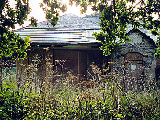 The Lodgehunting/fishing lodge · 414 yd
 Crow IslandIslet · 665 yd
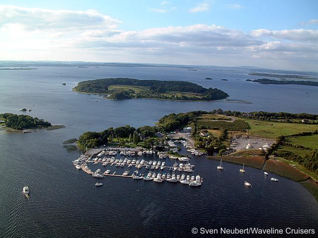 Killinure PointHeadland · 849 yd
 Crannells NookBay · 1346 yd
 OutlinedFairy fort / earthen ringfort · 1.3 mi
 Portlick Millennium ForestWood · 1.5 mi
 Cross in Killinure NorthCross · 1.5 mi
 CastleCastle, unclassified · 1.6 mi
 Siege of Athlonesiege · 2.8 mi
Other information
Photo: Credit not shown in the picture search · Rights wording not checked; contact us if this picture should be removed