What is recorded here
Site of 16th century O’Brien castle probably a tower house that was visited in 1979 and described as following: ‘Nothing is now visible of any structure or enclosure. The nearby field boundaries are modern field fences’ (SMR file). A dry stone wall forms the W boundary of the field in which the castle was situated. A new school has been built in the adjoining field to the W of the castle site. On the 1837 ed. OS 6-inch map Coosan Castle is depicted as a rectangular building aligned E-W with field boundaries running off the SE and SW angles of the castle. No castle building is depicted at this location on the revised 1876 ed. OS 6-inch map or on the 1910 ed. OS 25-inch map. Coosan Castle was the residence of Donell Reogh O’Brian who died on the 6th of February 1599/1600 (Nicholls 1970, 114). During his lifetime Donell O’Brian along with his younger brother Many O’Brian of Cornamagh helped ‘his said brother to build and make upp a castle’ at Coosan (Nicholls 1970, 114).
Compiled by: Caimin O’Brien
Date of upload: 08 May 2014
Coosan Castle was likely built by the O’Brien family in the 16th century. It is remembered as an example of early Irish tower house architecture, though its exact historical significance remains unclear due to the lack of visible remains.
The monument record does not grant public access. Check the route and ask the landowner before entering private land.
- What survives
- Recorded monument
Places near here
 OutlinedFairy fort / earthen ringfort · 845 yd
 Catholic Church of Our Lady Queen of Peacechurch/chapel · 1071 yd
 CastleCastle, unclassified · 1287 yd
 Thatch IslandIslet · 1489 yd
 Siege of Athlonesiege · 1.1 mi
 Green IslandIslet · 1.2 mi
 Newcourtgates/railings/walls · 1.2 mi
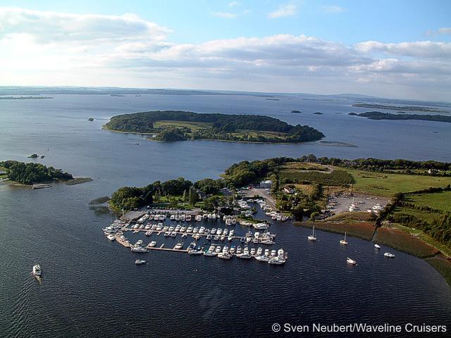 Killinure PointHeadland · 1.3 mi
 Ancient WallTown defences · 1.5 mi
 1916 Centenery CommemorationMemorial · 1.5 mi
 Athlone Music MuseumMuseum · 1.6 mi
Other information
Photo: Credit not shown in the picture search · Rights wording not checked; contact us if this picture should be removed