What is recorded here
Situated on a low rise, in tillage, with good views in all directions. Depicted on the 1837 ed. OS 6-inch map as a large oval-shaped earthwork (approx. dims. 62m E-W; 42m N-S). Annotated ‘Fort’ on the 1837 OS Fair Plan map. Monument described in 1966 as an oval-shaped platform (H 4-5ft /1.2-1.5m) defined by a scarp with no external fosse and a causewayed entrance at E (OPW Field Report 22/09/1969). Levelled monument described in 1970 as no surface remains visible. Levelled monument is not visible today on Digital Globe aerial photography.
Compiled by: Alison McQueen, Vera Rahilly and Caimin O’Brien
Date of upload: 05 July 2019
A fairy fort or ringfort in Craddanstown is a likely early-medieval agricultural or defensive enclosure, indicated by its oval shape and strategic location on a low rise. The site is associated with local folklore surrounding fairy activity, common in such earthworks across Ireland.
The monument record does not grant public access. Check the route and ask the landowner before entering private land.
- What survives
- Recorded monument
Places near here
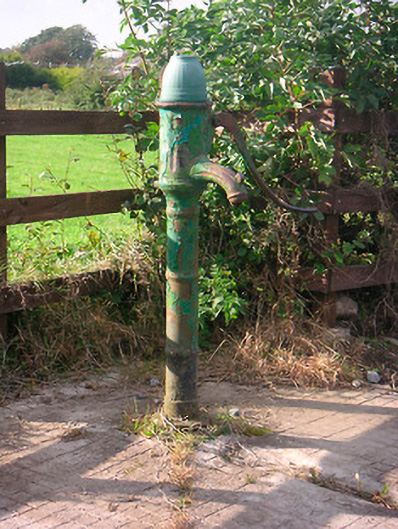 water pumpwater pump · 136 yd
 Craddenstown Lodgehouse · 380 yd
 Enclosure in Joristown LowerEnclosure · 661 yd
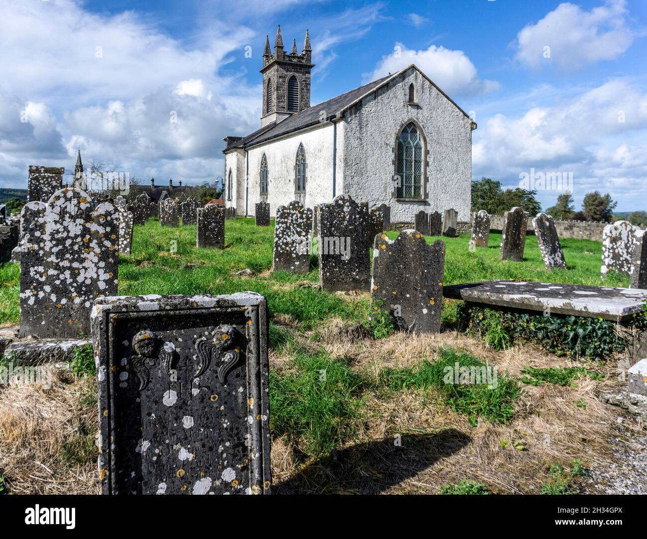 St. Patricks or Scardan WellHoly well · 1.2 mi
 Killagh Ho. & CastleCastle, tower house · 2.1 mi
 DardistownCastle, unclassified · 2.6 mi
 ScregganWood · 2.7 mi
 GinkgoGinkgo · 3.4 mi
 Croppies' GraveMemorial · 8.2 mi
 Craddenstown Housecountry house · 686 yd
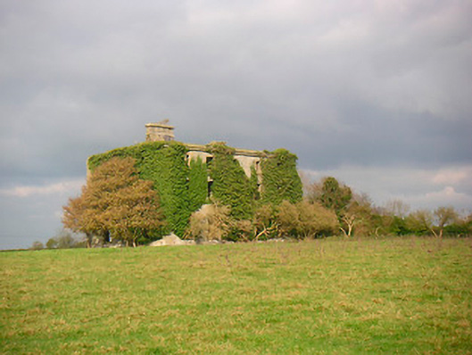 Grange More Housecountry house · 1482 yd
 IndicatedBuilding · 1.1 mi