What is recorded here
Situated in the col between Cnoiceen Hill to the W and the Monavullagh Mountains to the E. Only four kerbstones on an arc at W survive (C 3.5m). (Moore 1995, 208, 212, 220-23, 243, N10)
Moore, M. (1995) A Bronze Age setlement and ritual centre in the Monavullagh Mountains, County Waterford. PPS 61, 191-243.
The above description is derived from the published 'Archaeological Inventory of County Waterford' (Dublin: Stationery Office, 1999). In certain instances the entries have been revised and updated in the light of recent research.
Compiled by: Michael Moore. Date of upload: 6th May, 2011.
The monument record does not grant public access. Check the route and ask the landowner before entering private land.
- What survives
- Recorded monument
Places near here
 BarrowBarrow, pond barrow · 97 yd
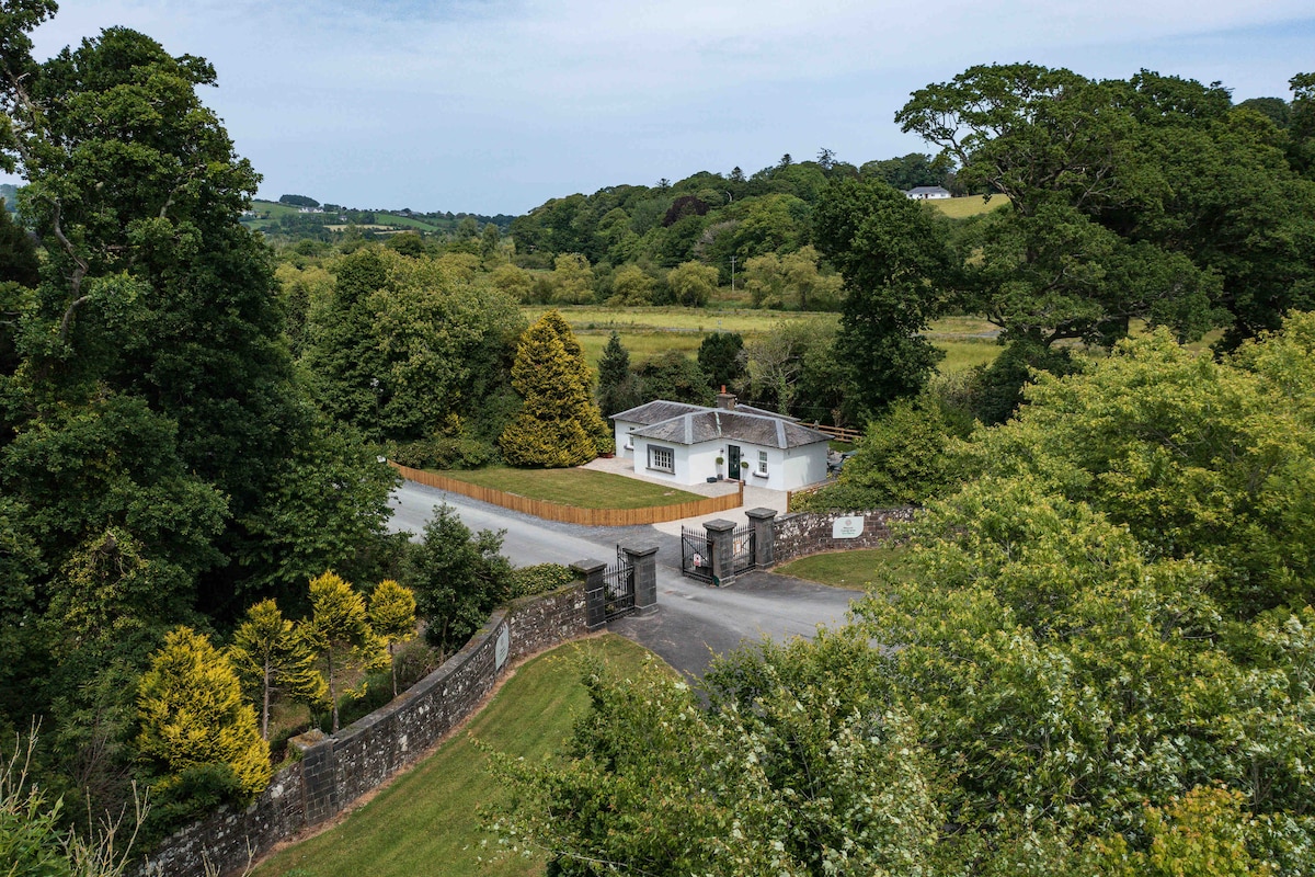 Hut site in CoumaraglinmountainHut site · 219 yd
 Standing StoneMemorial · 414 yd
 KilnKiln, lime · 1244 yd
 Coumaraglin MountainMountain / peak · 1.5 mi
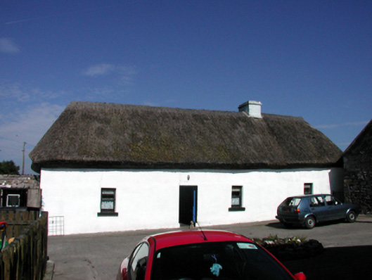 farm housefarm house · 1.5 mi
 CrohaunMountain / peak · 2.0 mi
 Bawn in BarnankileBawn · 3.2 mi
 Mahon ValleyCliff · 3.5 mi
 Castle (in ruins)Castle, tower house · 4.0 mi
 Magic Road (start)Heritage attraction · 4.4 mi
 Magic Road (finish)Heritage attraction · 4.4 mi