What is recorded here
Outlined is a vanished thirty-metre tree-ring on the demesne of Cloghanarold House, drawn on an 1840 map but erased from later charts and modern images. It may have been a proud landscape feature for the house rather than an ancient monument, judged by its absence from older records and its proximity to the residence. The land has taken back what human hands shaped, leaving only a coordinate and a ghost of a circle in memory.
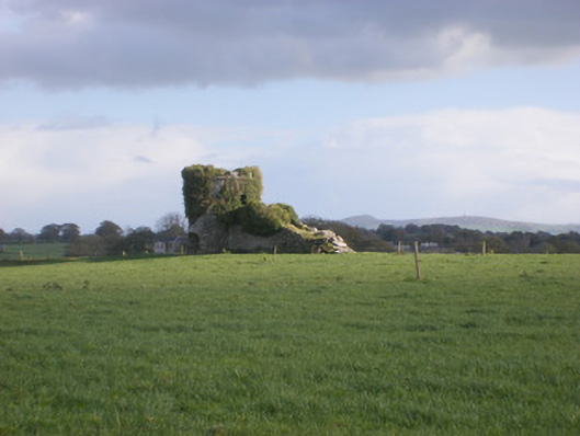
In undulating pasture SE of a farm road, on the demesne lands of Cloghanarold House (LI029-126----) located 300m to N. The site is on a vantage point at the WSW end of a low naturally occurring ridge. Doondonnell Church (LI029-012----) lies 180m to NW and ringfort (LI029-013----) is 200m to SSW. The site is depicted as a circular enclosure or tree-ring on the 1840 ed. OSi 6-inch map (ext. diam. c. 30m). It is not depicted on the 1897 ed. OSi 25-inch map or subsequent maps. It is not visible on the OSi orthoimage taken 2005-12 nor on the Digital Globe orthoimages taken 2011-2013. Inspected by the ASI in 2007 when no surface trace could be identified. The location of the levelled site is visible on the Google Earth orthoimage taken 08/04/2015 and 28/06/2018. Could be the remains of a post-1700 landscape feature of Cloghanarold House as it is not depicted as an antiquity on the 1840 ed. OS map.
See attached ASI plan, photos and Google Earth orthoimages
Compiled by: Edmond O’Donovan
Date of upload: 25 September 2020
The monument record does not grant public access. Check the route and ask the landowner before entering private land.
- What survives
- Recorded monument
Places near here
 Doondonnell Church (in ruins)Church · 217 yd
 Cloghanarold Housecountry house · 341 yd
 TobernawathaHoly well · 633 yd
 Castle MatrixCastle, tower house · 840 yd
 Field system in CloghanaroldField system · 945 yd
 TobernablahySpring · 1054 yd
 Glebe CastleCastle · 1405 yd
 St. Kieran's WellSpring · 1.7 mi
 European ashEuropean ash · 2.5 mi
 Little HeavenHeritage attraction · 6.2 mi
 Mill (in ruins)Mill, unclassified · 577 yd
 kilnkiln · 706 yd