What is recorded here
In pasture, at base of S-facing slope, on N side of stream. No visible surface trace of well apart from damp area (2.3m N-S; 2.65m E-W) in grassy field. (Ó Danachair 1955, 203) described it as a clear spring with some rough walling, dedicated to St. Molua. See attached photos taken in 1954 by Caoimhín Ó Danachair, courtesy of and © National Folklore Collection, UCD. The Photographic Collection, F025.21.00194 accessible online at www.duchas.ie/en/cbeg/31127; F025.21.00193 accessible online at www.duchas.ie/en/cbeg/31126 and F025.21.00192 accessible online at www.duchas.ie/en/cbeg/169960.
From the National Monuments Service (Archaeological Survey of Ireland) record LI029-010
The monument record does not grant public access. Check the route and ask the landowner before entering private land.
- What survives
- Recorded monument
Places near here
Photo credits
- National Inventory of Architectural Heritage
- Mike Searle, Geograph · CC BY-SA 2.0
- Willow, Wikimedia Commons · CC BY 2.5
- Created by Kglavin Modified Aug 2007 by Mike Christie, Wikimedia Commons · CC BY-SA 3.0
- Vadim Manuylov, Wikimedia Commons · CC BY-SA 3.0
- A.-K. D., Wikimedia Commons · CC BY-SA 4.0
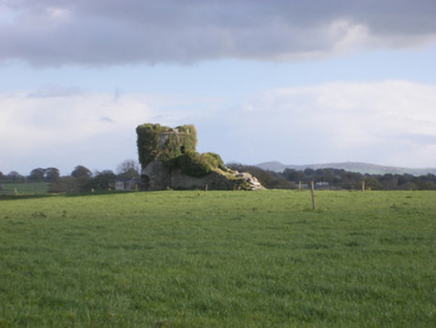 kiln183 yd
 Cloghanarold HouseCountry house · 544 ydField system in CloghanaroldField system · 566 ydTobernablahySpring · 914 yd
 Castle MatrixCastle · 1455 yd
 Castle MatrixCastle, tower house · 1467 yd
 milestone/milepost1.1 mi
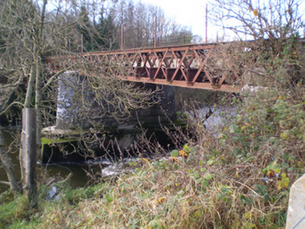 bridge1.1 mi
 European ash2.7 mi
 Ardagh FortArchaeological place · 4.5 mi
 Monterey Cypress9.4 mi
 Saint Ite's WellSpring · 11 mi
More archaeology and monuments in County Limerick · All of County Limerick
What do you know about this place?