What is recorded here
A series of sub-rectilinear enclosures covering an area of c. 100m N-S x 120m E-W. Most probably the remains of an old field system possibly related to enclosure (LI020-140----) c. 80m to NNE. Visible on photographs taken from a light aircraft.
From the National Monuments Service (Archaeological Survey of Ireland) record LI029-158
The monument record does not grant public access. Check the route and ask the landowner before entering private land.
- What survives
- Recorded monument
Places near here
Photo credits
- National Inventory of Architectural Heritage
- Mike Searle, Geograph · CC BY-SA 2.0
- Willow, Wikimedia Commons · CC BY 2.5
- Created by Kglavin Modified Aug 2007 by Mike Christie, Wikimedia Commons · CC BY-SA 3.0
- Wikimedia Commons contributor · Public domain
- Peter Gerken, Wikimedia Commons · CC BY-SA 2.0
- Vadim Manuylov, Wikimedia Commons · CC BY-SA 3.0
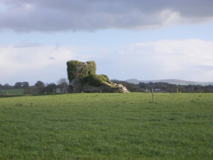 kiln384 ydTobernawathaHoly well · 566 yd
 Cloghanarold HouseCountry house · 647 ydTobernablahySpring · 1477 yd
 Kilcool BridgeBridge · 1526 yd
 Castle MatrixCastle · 1629 yd
 Castle MatrixCastle, tower house · 1639 yd
 European ash3.0 mi
 Ardagh FortArchaeological place · 4.7 mi
 Askeaton CastleHeritage attraction · 4.9 mi
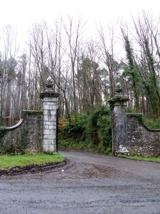 Curraghchase Forest ParkForest · 6.4 mi
 Monterey Cypress9.3 mi
More archaeology and monuments in County Limerick · All of County Limerick
What do you know about this place?