
What is recorded here
In pasture, at base of SW-facing slope, on N bank of River Deel. No visible surface trace of 'mill in ruins' depicted on 1841 OS 6-inch map.
Compiled by: Denis Power
Date of upload: 26 August 2011
The monument record does not grant public access. Check the route and ask the landowner before entering private land.
- What survives
- Recorded monument
Places near here
 Castle MatrixCastle, tower house · 263 yd
 Fulacht fia in CastlematrixFulacht fia · 460 yd
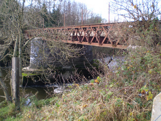 bridgebridge · 703 yd
 Cloghanarold Housecountry house · 766 yd
 Glebe CastleCastle · 833 yd
 RathkealeFairy fort / earthen ringfort · 1097 yd
 TobernablahySpring · 1496 yd
 St. Kieran's WellSpring · 2.0 mi
 European ashEuropean ash · 2.3 mi
 Little HeavenHeritage attraction · 6.1 mi
 Doondonnell Church (in ruins)Church · 783 yd
 milestone/milepostmilestone/milepost · 885 yd
Other information
Photo: Credit not shown in the picture search · Rights wording not checked; contact us if this picture should be removed