What is recorded here
Possible fulacht fia identified as 'Site A' by Ceile O'Rahilly in her archaeological report on the Rathkeale Bypass dated August 1990. She described the site as following 'Field near river. Fulacht Fiadh, possible. Low ground of Iris (damp). V. close to river. No mound visible.' (SMR File)
Compiled by: Caimin O'Brien
Date of upload: 25 September 2020
From the National Monuments Service (Archaeological Survey of Ireland) record LI029-138
The monument record does not grant public access. Check the route and ask the landowner before entering private land.
- What survives
- Recorded monument
Places near here
Photo credits
- Mike Searle, Geograph · CC BY-SA 2.0
- National Inventory of Architectural Heritage
- Willow, Wikimedia Commons · CC BY 2.5
- Created by Kglavin Modified Aug 2007 by Mike Christie, Wikimedia Commons · CC BY-SA 3.0
- Vadim Manuylov, Wikimedia Commons · CC BY-SA 3.0
- A.-K. D., Wikimedia Commons · CC BY-SA 4.0
 Castle MatrixCastle, tower house · 224 yd
 Castle MatrixCastle · 232 yd
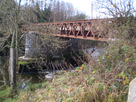 bridge243 yd
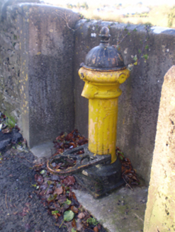 water pump565 yd
 Holy Trinity Church (Rathkeale)Mausoleum · 618 yd
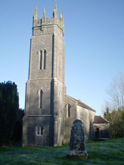 Holy Trinity Church (Rathkeale)Church/chapel · 646 ydGrave YardGraveyard · 662 ydTobernablahySpring · 1.1 mi
 European ash2.3 mi
 Ardagh FortArchaeological place · 5.1 mi
 Monterey Cypress10 mi
 Saint Ite's WellSpring · 11 mi
More archaeology and monuments in County Limerick · All of County Limerick
What do you know about this place?