
What is recorded here
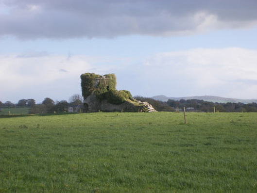
Situated on the demesne lands of Cloghanarold House and Castle (LI029-126----) located 210m to NNE which stands 50m S of the River Deel. Church ruins with earthworks of possible medieval fields or settlement to E, S and W of church visible on OSi orthophotos taken 2005. Westropp (1904-5, 399-400) records the following details on Teampall Dhún Dónaill or the Church of Doondonnell; 'In 1237 the benefices of the lands of Robert Donndonenolde, near Rathgel, were resigned by Keynsham (B.B.L., p. 75). This marks the founder as the earlier Robert of 1201 (see also Plea R., xiv Hen. III., No. 4, m. 1259). Chapel of the castle of Robert de Dundonenyld [LI029-126----], 1291. Castle Robert de Dundonoyl, 1332, dedicated to St. Mary Magdalen, 22nd July, 1410; Downdonill, 1418; "Castro Robti Dondwnyll vocata, Harold's Castle," 1452 (rental), whence Cloghnarold. Fabric - It is 45 feet [13.7m] by 18½ feet [5.5m]; the gables fell before 1840, and 26 feet [8m] of north wall remained; there were two defaced windows and a round arched door. No burials had taken place there since 1810 (O.S. L. 8, p. 165). St. Molua's Well [LI029-010----]near it'.
Compiled by: Caimin O'Brien
Date of upload: 14 January 2019
The monument record does not grant public access. Check the route and ask the landowner before entering private land.
- What survives
- Recorded monument
Places near here
 Cloghanarold Housecountry house · 251 yd
 TobernawathaHoly well · 423 yd
 kilnkiln · 489 yd
 Field system in CloghanaroldField system · 751 yd
 TobernablahySpring · 1005 yd
 Castle MatrixCastle, tower house · 1044 yd
 Glebe CastleCastle · 1600 yd
 St. Kieran's WellSpring · 1.7 mi
 European ashEuropean ash · 2.6 mi
 Little HeavenHeritage attraction · 6.2 mi
 Mill (in ruins)Mill, unclassified · 783 yd
 Fulacht fia in CastlematrixFulacht fia · 1214 yd
Other information
Photo: Credit not shown in the picture search · Rights wording not checked; contact us if this picture should be removed