What is recorded here
Fairy fort / earthen ringfort in Carrigeensharragh is a fairy fort or earthen ringfort in Carrigeensharragh, County Tipperary, Ireland. It stood on a steep south-facing slope above the River Moyle as a small circular enclosure thirty metres across, defined by a bank and ditch. A visitor in 1982 found it in fair condition, but the landowner levelled it before 1994, removing every visible trace at ground level.
On a steep S-facing slope in undulating terrain, with River Moyle at base of S slope. No visible trace at ground level, it was levelled by the landowner before 1994. The ringfort was visited in 1982 when it was described as a 'small circular enclosure' in fair condition defined by a bank and ditch (diam. 30m) (Cahill 1982). On the 2nd (1906) ed. OS 6-inch map earthworks are shown running roughly E-W directly above the N quadrant of the monument, though these have also been levelled, they appear to be part of a trackway (TS077-118----).
Compiled by: Jean Farrelly
Date of upload: 26 August 2011
This remains an important historical record, but the official description says the monument is no longer visible or has been destroyed. The monument record does not grant public access. Check the route and ask the landowner before entering private land.
- What survives
- No visible remains or recorded as destroyed
Places near here
 RoadRoad, road/trackway · 142 yd
 TobernagloghdergHoly well · 209 yd
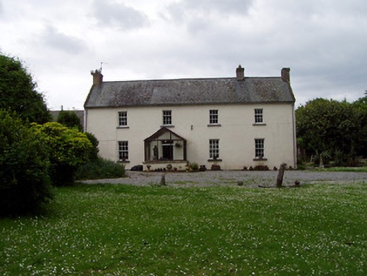 Annsforthouse · 351 yd
 Persian WalnutPersian Walnut · 403 yd
 Site of Carrigeen CastleCastle, unclassified · 484 yd
 Enclosure in Kilmore (lisronagh Par.)Enclosure · 949 yd
 CastleCastle, ringwork and bailey · 1419 yd
 Common LimeCommon Lime · 2.8 mi
 RetrospectMemorial · 3.9 mi
 Charles BianconiMemorial · 3.9 mi
 Main GuardHeritage attraction · 4.0 mi
 Merchant's HouseVisitor information · 4.1 mi