What is recorded here
Situated on a gentle SW-facing slope 250m SW of a ringfort (WI001-018----) on Golden Hill. Circular cairn (diam. 21m; H 1m) with a kerb of small boulders surviving in places. Larger field-clearance boulders have been added at the N and NE in recent times. (Information P. Healy)
The above description is derived from the published 'Archaeological Inventory of County Wicklow' (Dublin: Stationery Office, 1997). In certain instances the entries have been revised and updated in the light of recent research.
Date of upload/revision: 17 December 2008
A circular cairn, likely dating to the Bronze Age, with a partial kerb of small boulders; its location near a ringfort suggests possible ritual or funerary significance in a prehistoric landscape.
The monument record does not grant public access. Check the route and ask the landowner before entering private land.
- What survives
- Recorded monument
Places near here
 IndicatedFairy fort / earthen ringfort · 132 yd
 St. Kevins WellHoly well · 815 yd
 Church in Kilbride (talbotstown Lower By.)Church · 1247 yd
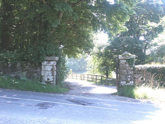 The Manorhouse · 1447 yd
 Rock WoodForest · 1.1 mi
 CastleCastle, tower house · 1.1 mi
 Site of CastleCastle, unclassified · 1.5 mi
 OldcourtMemorial · 1.5 mi
 Cupidstown HillMountain / peak · 2.1 mi
 The Square RenewalMemorial · 2.8 mi
 Blessington DemesneWood · 2.9 mi
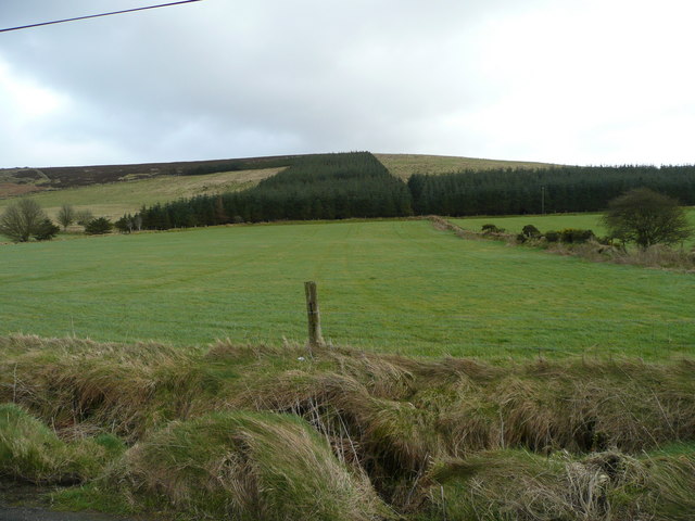 Butter MountainMountain / peak · 3.0 mi