
What is recorded here
Bennekerry holds an oval enclosure marked only by shadow and soil colour, visible when sunlight rakes across the farm land. Its boundary follows a buried fosse rather than a standing wall, suggesting people shaped the earth there long before roads or houses arrived. The shape resists easy explanation: large enough for ceremony, quiet enough for forgotten labour, and patient enough to wait for birds flying overhead to reveal it again.
Aerial photographs (GB95.FV.20; GB96. GB. 12) show cropmark of an oval enclosure defined by a fosse.
A copy of the aerial photograph (GB95.FV.20) forms Plate 2.10 in the following:
Barrett, G.F. (2008) 'The archaeology of County Carlow: an aerial perspective, in T. McGrath and T. O'Keefe (eds), County Carlow: History and Society, Geography Publications, Dublin. 31-51
Compiled by: Dr Gillian Barrett for the Archaeological Survey of Ireland.
Date of upload: 1 February 2012
The monument record does not grant public access. Check the route and ask the landowner before entering private land.
- What survives
- Recorded monument
Places near here
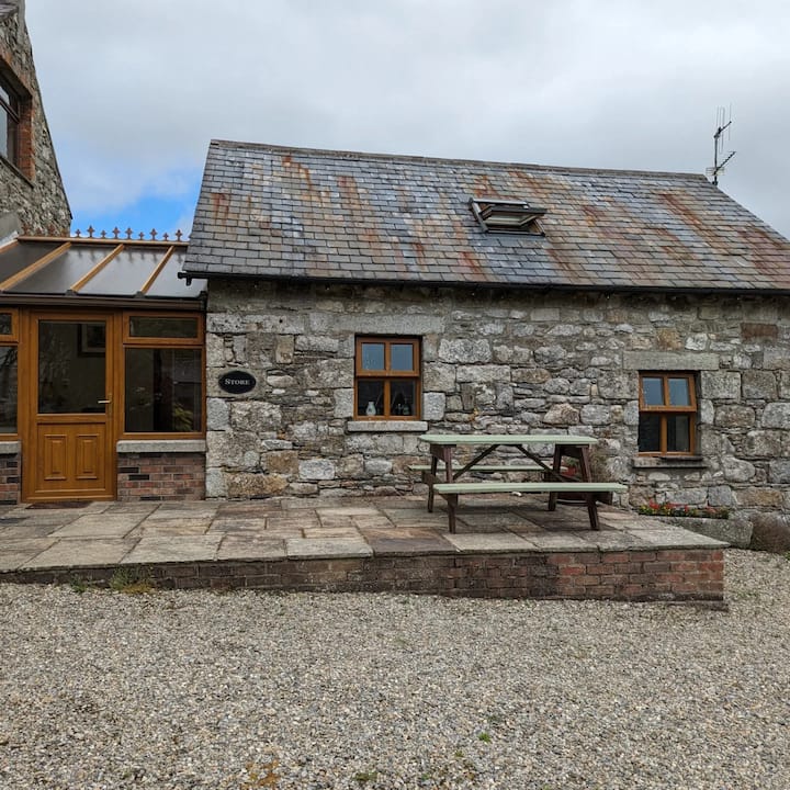 Enclosure in BennekerryEnclosure · 114 yd
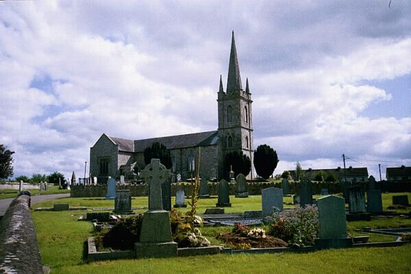 Church (in ruins)Church · 279 yd
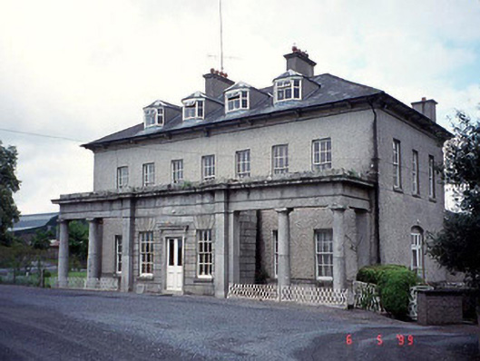 Bennekerry Housecountry house · 340 yd
 Site of CastleCastle, unclassified · 737 yd
 Graigue Castle in ruinsCastle, unclassified · 840 yd
 Enclosure in StaplestownEnclosure · 1520 yd
 Brownshill Portal TombVisitor information · 1.3 mi
 Pedunculate OakPedunculate Oak · 1.8 mi
 White willowWhite willow · 2.4 mi
 Carlow County MuseumMuseum · 2.6 mi
 Kilmurry Church (in ruins), GraveyardChurch · 3.5 mi
 Church (in ruins), GraveyardChurch · 4.2 mi
Other information
Photo: Credit not shown in the picture search · Rights wording not checked; contact us if this picture should be removed