
What is recorded here
Bennekerry castle vanished before human memory, leaving only a level patch of grass two hundred metres from Graigue Castle. The site stared across open ground, perhaps watching the road, perhaps guarding nothing at all. That empty space is sharper than a ruined wall because it admits the castle was erased completely.
The following description is derived from the published 'Archaeological Inventory of County Carlow' (Dublin: Stationery Office, 1993). In certain instances the entries have been revised and updated in the light of recent research.
Date of upload/revision: 17 July 2007
Site of castle recorded in 1839 'OS 6-inch' map. Level area but no visible trace of any building. Overlooks Graigue Castle (CW007-031----) c. 200m to SE.
Bennekerry Castle was built in the 15th century by the Butler family, who were prominent Anglo-Norman lords in Ireland. It is remembered as an example of late medieval military architecture and for its strategic role in the control of the surrounding region during the Butler earldom of Ormond's influence.
This remains an important historical record, but the official description says the monument is no longer visible or has been destroyed. The monument record does not grant public access. Check the route and ask the landowner before entering private land.
- What survives
- No visible remains or recorded as destroyed
Places near here
 Graigue Castle in ruinsCastle, unclassified · 235 yd
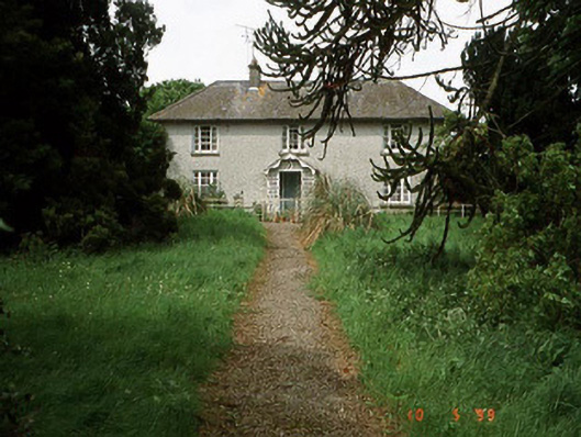 Springfield Househouse · 708 yd
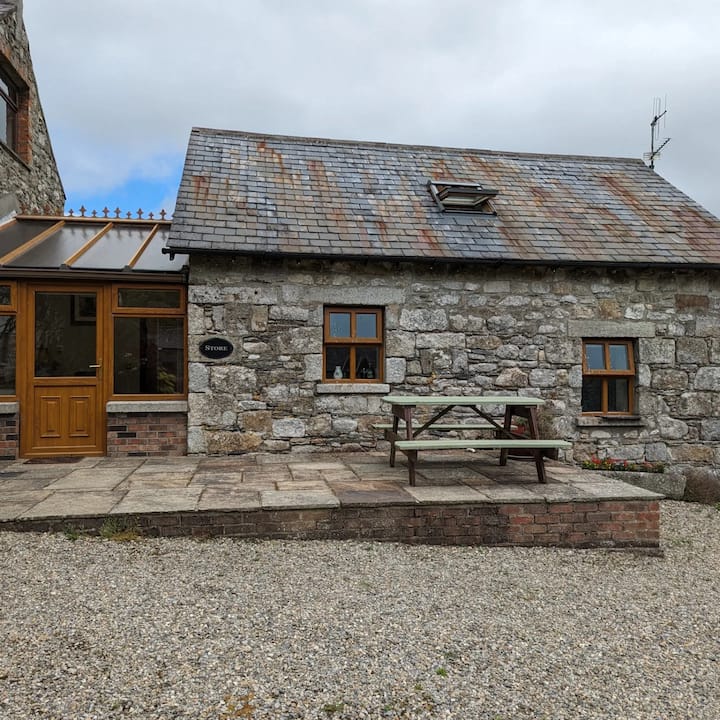 Enclosure in BennekerryEnclosure · 716 yd
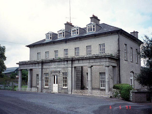 Bennekerry Housecountry house · 982 yd
 Enclosure in BallynakillbegEnclosure · 1290 yd
 Brownshill Portal TombVisitor information · 1.1 mi
 White willowWhite willow · 2.3 mi
 Friarstown Castle (in ruins)Castle, tower house · 2.5 mi
 Carlow County MuseumMuseum · 2.7 mi
 European YewEuropean Yew · 2.9 mi
 Kilmurry Church (in ruins), GraveyardChurch · 3.6 mi
 Church (in ruins), GraveyardChurch · 4.4 mi
Other information
Photo: Credit not shown · Copyright shown; no reuse licence shown