
What is recorded here
Aerial photograph (GB90.BD.11, 13 July 1990) shows cropmark of an oval enclosure defined by two fosses. The outer fosse extends outwards on the south-western side.
Compiled by: Dr Gillian Barrett for the Archaeological Survey of Ireland.
Date of upload: 29 March 2010
A local fairy fort (ringfort/rath); wider significance not recorded.
The monument record does not grant public access. Check the route and ask the landowner before entering private land.
- What survives
- Recorded monument
Places near here
 Saint Mary's Catholic Churchchurch/chapel · 275 yd
 Brownshill Portal TombVisitor information · 672 yd
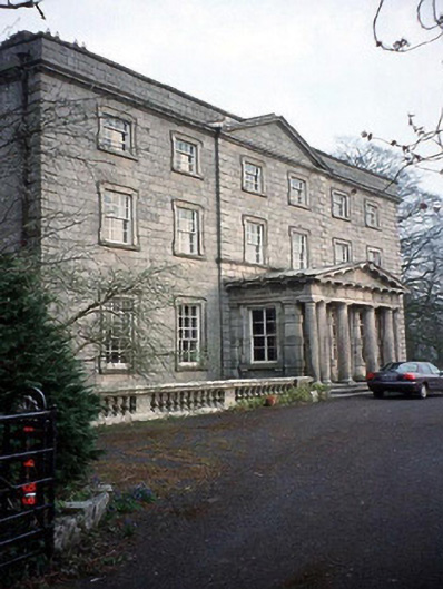 Browne's Hill Housecountry house · 863 yd
 Portal tomb in KernanstownPortal tomb · 904 yd
 Site of CastleCastle, unclassified · 1290 yd
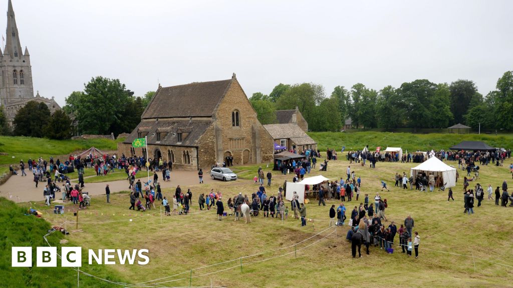 Enclosure in Urglin OR RutlandEnclosure · 1356 yd
 Graigue Castle in ruinsCastle, unclassified · 1447 yd
 White willowWhite willow · 1.7 mi
 European YewEuropean Yew · 2.3 mi
 VISUAL Centre for Contemporary ArtGallery · 2.4 mi
 Church (in Ruins), GraveyardChurch · 3.5 mi
 Kilmurry Church (in ruins), GraveyardChurch · 4.3 mi
Other information
Photo: Credit not shown in the picture search · Rights wording not checked; contact us if this picture should be removed