What is recorded here
Aerial photograph (GB95.FV.20) shows cropmark of a circular enclosure defined by a fosse; the western quadrant has been destroyed.
A copy of this aerial photograph forms Plate 2.10 in the following:
Barrett, G.F. (2008) 'The archaeology of County Carlow: an aerial perspective, in T. McGrath and T. O'Keefe (eds), County Carlow: History and Society, Geography Publications, Dublin. 31-51
Compiled by: Dr Gillian Barrett for the Archaeological Survey of Ireland.
Date of upload: 15 April 2011
This remains an important historical record, but the official description says the monument is no longer visible or has been destroyed. The monument record does not grant public access. Check the route and ask the landowner before entering private land.
- What survives
- No visible remains or recorded as destroyed
Places near here
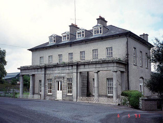 Bennekerry Housecountry house · 285 yd
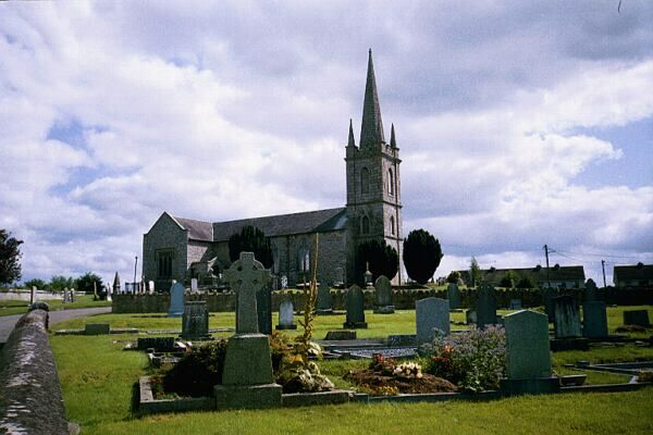 Church (in ruins)Church · 372 yd
 Site of CastleCastle, unclassified · 716 yd
 Graigue Castle in ruinsCastle, unclassified · 849 yd
 Enclosure in StaplestownEnclosure · 1442 yd
 Enclosure in BallynakillbegEnclosure · 1718 yd
 Brownshill Portal TombVisitor information · 1.3 mi
 Pedunculate OakPedunculate Oak · 1.9 mi
 White willowWhite willow · 2.3 mi
 Carlow County MuseumMuseum · 2.5 mi
 Kilmurry Church (in ruins), GraveyardChurch · 3.6 mi
 Church (in ruins), GraveyardChurch · 4.3 mi
Other information
Photo: Credit not shown in the picture search · Rights wording not checked; contact us if this picture should be removed