What is recorded here
Half a kilometre from the last house, a shallow circle of earth and stone still marks the hillside. The fort is thirty-two metres across, raised slightly above the grass, with a thin ditch outside and no visible gate. People may have lived there before roads or written history, raising children or arguing about weather inside the bank. The fairies may have taken the entrance instead, leaving only a line where the soil changes colour.
At the base of the N-facing slope of a hillock. A report in 1976 (SMR file) indicates that this slightly raised circular area (diam. c. 32m) was defined by a low bank of earth and stone and an external fosse. It is defined by a scarp (H 0.3-0.55m). The original entrance is not recognisable.
Compiled by: Patrick F. O'Donovan
Date of upload: 26 November 2011
The monument record does not grant public access. Check the route and ask the landowner before entering private land.
- What survives
- Recorded monument
Places near here
 IndicatedFairy fort / earthen ringfort · 860 yd
 Fulacht fia in Lisduff (montgomery)Fulacht fia · 944 yd
 Bawn in CastlereaBawn · 1719 yd
 National Famine WayWalking route · 1740 yd
 Bawn Castle & NunneryHouse, fortified house · 1.0 mi
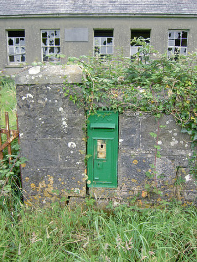 post boxpost box · 1.1 mi
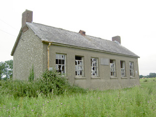 Saint Brigid's National Schoolschool · 1.1 mi
 Graveyard in Curry (ardagh By., Coolamber Ed)Graveyard · 3.4 mi
 First World War MemorialMemorial · 4.5 mi
 Saint Mel's CathedralCathedral · 4.6 mi
 Corlea Trackway Interpretative CentreHeritage attraction · 5.5 mi
 Corlea Bog Walk Blue LoopWalking route · 5.6 mi