
What is recorded here
On a N-facing slope in rough pasture. A well-defined, low, horseshoe-shaped mound (10m N-S; 7m E-W; H 0.4-0.5m) of earth and stone opening to the SW. Some burnt stone is visible. The bed of a stream may be traced a short distance to the E.
Compiled by: Patrick F. O'Donovan
Date of upload: 2 March 2012
The monument record does not grant public access. Check the route and ask the landowner before entering private land.
- What survives
- Recorded monument
Places near here
 IndicatedFairy fort / earthen ringfort · 224 yd
 BarrowBarrow, ring-barrow · 1484 yd
 National Famine WayWalking route · 1.2 mi
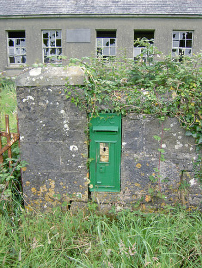 post boxpost box · 1.3 mi
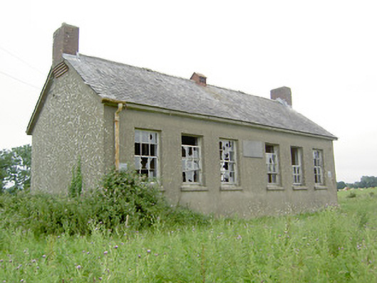 Saint Brigid's National Schoolschool · 1.3 mi
 Bawn in CastlereaBawn · 1.3 mi
 Druming Ho. (in ruins)Castle, unclassified · 1.3 mi
 Oldtown CopseWood · 2.6 mi
 Graveyard in Curry (ardagh By., Coolamber Ed)Graveyard · 3.9 mi
 First World War MemorialMemorial · 5.0 mi
 Saint Mel's CathedralCathedral · 5.0 mi
 Corlea Bog Walk Canal BranchWalking route · 5.6 mi
Other information
Photo: Credit not shown in the picture search · Rights wording not checked; contact us if this picture should be removed