
What is recorded here
One chamber held the dead from several ages, yet the wide circular ditch appears nowhere in the old accounts. It may have belonged to the first burial, the later additions or an entirely separate act of enclosure. The field gives no answer, only a clean line in the soil around a place already marked for remembering.
National Monument No. 566. This record relates to a cropmark visible on an aerial photograph taken in 1989 (GB89.AH.34; pers. comm. G. Barrett; SMR file) which shows a circular fosse surrounding the mound containing the Neolithic Linkardstown burial and subsequent Bronze Age burials (see CW008-031001- and CW008-031002-). This may relate to either phase of activity at this monument or could be a later addition.
Compiled by: Paul Walsh
The attached image is copyright and uploaded courtesy of Dr. Gillian Barrett.
Date of upload: 12 March 2013
The monument record does not grant public access. Check the route and ask the landowner before entering private land.
- What survives
- Recorded monument
Places near here
 Church (in ruins)Church · 456 yd
 Enclosure in AghwaterEnclosure · 865 yd
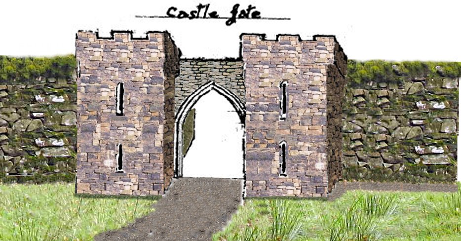 Enclosure in KillenoraEnclosure · 900 yd
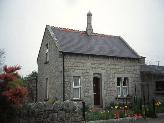 Moylegate lodge · 1744 yd
 Friarstown Castle (in ruins)Castle, tower house · 1.5 mi
 Site of CastleCastle, unclassified · 1.7 mi
 Kilmurry Church (in ruins), GraveyardChurch · 2.5 mi
 Pedunculate OakPedunculate Oak · 2.8 mi
 Brownshill Portal TombVisitor information · 2.8 mi
 Duckett's GroveHeritage attraction · 3.1 mi
 Cork oakCork oak · 3.3 mi
 Church (in ruins), GraveyardChurch · 3.8 mi
Other information
Photo: Credit not shown in the picture search · Rights wording not checked; contact us if this picture should be removed