
What is recorded here
In tillage. A circular enclosure (diam. c. 28m) visible as a cropmark on Google Earth (imagery date 14 July 2018). There is another enclosure (CW008-095----) c. 174m to the SW and three ring-ditches (CW008-093----; CW008-094---- and CW008-096----) c. 250m to the SW and the latter c. 30m to the S respectively.
See attached:
CW008-097----_01 Google Earth image (imagery date 14 July 2018) with enclosures highlighted
Compiled by: Jean Farrelly
Date of upload: 25 February 2020
The monument record does not grant public access. Check the route and ask the landowner before entering private land.
- What survives
- Recorded monument
Places near here
 Enclosure in BaunogenasraidEnclosure · 865 yd
 Church (in ruins)Church · 1294 yd
 Enclosure in KillenoraEnclosure · 1750 yd
 Friarstown Castle (in ruins)Castle, tower house · 1.1 mi
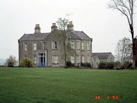 Littlemoyle Housefarm house · 1.5 mi
 Graigue Castle in ruinsCastle, unclassified · 2.1 mi
 Duckett's GroveHeritage attraction · 2.8 mi
 Kilmurry Church (in ruins), GraveyardChurch · 2.8 mi
 Brownshill Portal TombVisitor information · 2.9 mi
 Cork oakCork oak · 3.0 mi
 European YewEuropean Yew · 3.2 mi
 Church (in ruins), Cross, GraveyardChurch · 4.0 mi
Other information
Photo: Credit not shown in the picture search · Rights wording not checked; contact us if this picture should be removed