What is recorded here
On a level, low-lying landscape. Circular grass and rush-covered platform (diam. 27-27.5m; H 0.6-0.7m) defined by a fosse (Wth of top 14-15.2m) with an outer earthen bank (Wth 4.6m at E to 7.9m at N; int. H 0.2m at S to 0.75m at E; ext. H 0.3m at W to 0.7m at E). A second complete fosse (Wth of top 8m at S to 12.5m at W) is surrounded by a second outer bank (Wth 3.8-5.4m; int. H 0.1-0.95m; ext. H 0.1-0.8m) W-N-S with a third fosse (Wth of top 3.8m at N to 8.5m at E; D 0.05m at N to 0.75m at E) W-N-SE. A NNW-SSE drain cuts the outer fosse at W, and an ENE-WSW drain cuts the outer fosse at S (max. ext. dims c. 110m E-W; c. 100m N-S). Barrow (RO006-164----) is c. 50m to the S. Archaeological monitoring (03E0070) c. 100m to the NNE during 2003 failed to produce any related material (Read 2006b).
See the attached aerial images taken from the NW (001) and NE (002).
Compiled by: Michael Moore
Date of upload: 24 August 2010
A ring-barrow, likely dating to the Early Bronze Age, representing a type of burial monument common in Ireland during the second millennium BCE. Its construction with a fosse and earthen bank indicates a significant communal effort and reflects early funerary practices in lowland settings.
The monument record does not grant public access. Check the route and ask the landowner before entering private land.
- What survives
- Recorded monument
Places near here
 indicatedFairy fort / stone ringfort · 710 yd
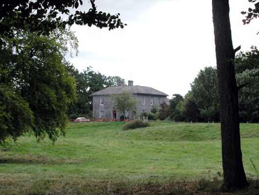 Glencarne Househouse · 751 yd
 Embanked enclosureFairy fort / earthen ringfort · 872 yd
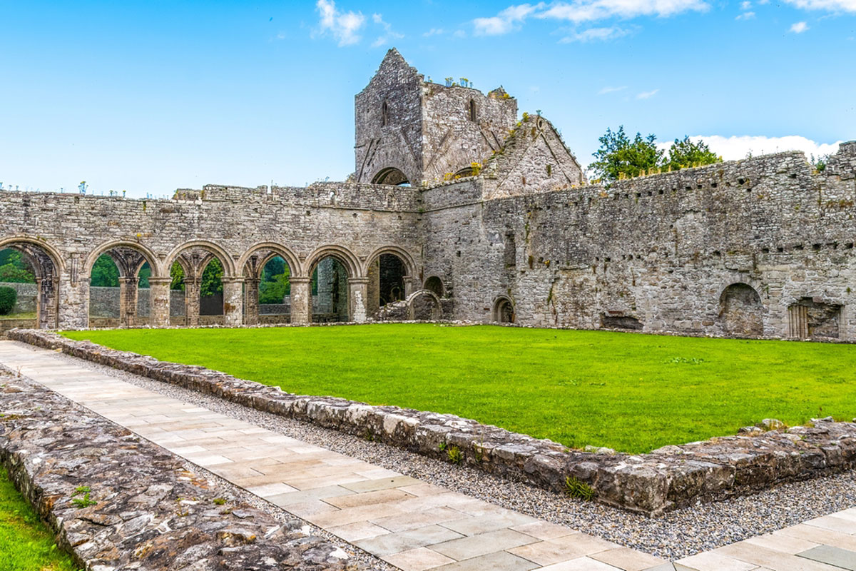 MonasteryReligious house, Augustinian, of Arrouaise nuns · 1668 yd
 Hughestown WoodForest · 1.5 mi
 Longford HillMountain / peak · 2.3 mi
 Moylung Castle (in ruins)Castle, unclassified · 2.4 mi
 Horse-chestnutHorse-chestnut · 2.7 mi
 Erris BayBay · 3.4 mi
 Trinity IslandIslet · 3.5 mi
 Bingham IslandIslet · 3.8 mi
 Castle (Site of)Castle, unclassified · 3.8 mi