What is recorded here
Towards the bottom of the SW-facing slope of a rise. Circular grass-covered but poached area (int. diam. 39m E-W; 38m N-S) defined by a grass-covered stone spread (Wth 2.85m at S to 3.7m at N; int. H 0.05m generally to 0.55m at N; ext. H 0.2m at S to 0.5m at N) SE-NE with intermittently visible facing-stones (original Wth 1.9m). There is no visible entrance, but the perimeter has been quarried at E.
Compiled by: Michael Moore
Date of upload: 24 August 2010
From the National Monuments Service (Archaeological Survey of Ireland) record RO006-170
Places near here
Photo credits
- National Inventory of Architectural Heritage
- Kieran Campbell, Geograph · Creative Commons Attribution-ShareAlike 2.0
- Stephan van Helden, Wikimedia Commons · CC BY-SA 4.0
- abdallahh from Montréal, Canada, Wikimedia Commons · CC BY 2.0
- Oliver Dixon, Geograph · CC BY-SA 2.0
- Unknown Weaver, English (active c. 1080), Wikimedia Commons · Public domain
- Suse, Geograph · CC BY-SA 2.0
- Wikimedia Commons contributor · CC BY 2.5
- John M, Geograph · CC BY-SA 2.0
- Rob Hurson, Wikimedia Commons · CC BY-SA 4.0
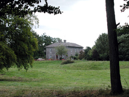 Glencarne HouseHouse · 967 yd
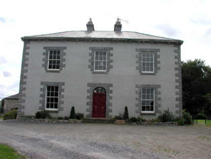 Ellesmere HouseHouse · 1.0 mi
 IndicatedGraveyard · 2.5 mi
 Horse-chestnut2.8 mi
 Western Redcedar2.9 mi
 Hog's IslandIslet · 4.2 mi
_-_WGA24165.jpg/250px-Tapestry_by_unknown_weaver_-_The_Bayeux_Tapestry_(detail)_-_WGA24165.jpg "Photo: Unknown Weaver, English (active c. 1080), Wikimedia Commons · Public domain") Battle of Áth an ChipBattle · 4.9 mi
Battle of Áth an ChipBattle · 4.9 mi Shannon-Erne WaterwayVisitor information · 5.2 mi
 Curlew MountainsMountain / peak · 8.5 mi
 Finn McCool's MonumentArchaeological place · 9.7 mi
 Ballindoon Castle (in Ruins)Castle, unclassified · 9.9 mi
 Bricklieve MountainsMountain / peak · 10 mi
More archaeology and monuments in County Roscommon · All of County Roscommon

What do you know about this place?Tap to add a comment or ask a question