What is recorded here
In gently undulating pasture, on low rise. Lots of old fluvial activity in field from old water courses. Circular area (dims. 6.5m N-S; 6m E-W) defined by very shallow fosse (Wth 2m; D 0.15m). Interior generally level and same height as exterior ground level. Identified on aerial photograph.
Compiled by: Jean Farrelly
Date of upload: 26 August 2011
A Neolithic ditch barrow, dating to the 4th to 3rd millennium BCE, representing an early form of burial monument associated with collective funerary practices and ritual landscape use. Its shallow fosse and circular form are characteristic of early mound-building traditions in Ireland.
The monument record does not grant public access. Check the route and ask the landowner before entering private land.
- What survives
- Recorded monument
Places near here
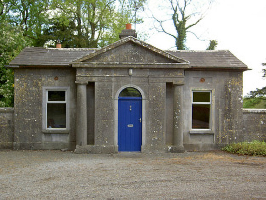 Mooresfort Housegate lodge · 342 yd
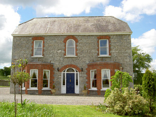 Saint Joseph'shouse · 1311 yd
 CastleCastle, ringwork · 1394 yd
 Enclosure in Lattin WestEnclosure · 1651 yd
 Ladys WellHoly well · 1.0 mi
 MoatCastle, motte · 1.8 mi
 SlievenamuckMountain / peak · 2.6 mi
 Carn (site of)Cairn, burial cairn · 2.8 mi
 Duntryleague HillMountain / peak · 3.5 mi
 Darby's Bed Walk LoopWalking route · 3.5 mi
 Bansha ForestForest · 3.6 mi
 Saint Patrick's WellSpring · 5.1 mi