
What is recorded here
In gently undulating, improved pasture, at base of a gentle SW-facing slope. Raised circular area (dims. 19m N-S; 20m E-W) defined by scarp (Wth 2m; H 0.35m). Fosse (Wth 7m; D 0.35m) WNW-SE; absent SE-S-WNW and truncated SW-WNW by linear land drain (long axis NW-SE). Narrow channels at truncated ends of fosse at WNW and S have been cut to divert water from fosse into land drain. Interior is level and appears featureless, although two abutting circular features are visible on an aerial photograph (OS 2396); one in centre and the second off-centre to SW. Conspicuous mound to W of monument appears natural.
Compiled by: Jean Farrelly
Date of upload: 26 August 2011
A local fairy fort (ringfort/rath); wider significance not recorded.
The monument record does not grant public access. Check the route and ask the landowner before entering private land.
- What survives
- Recorded monument
Places near here
 Ladys WellHoly well · 358 yd
 grottogrotto · 509 yd
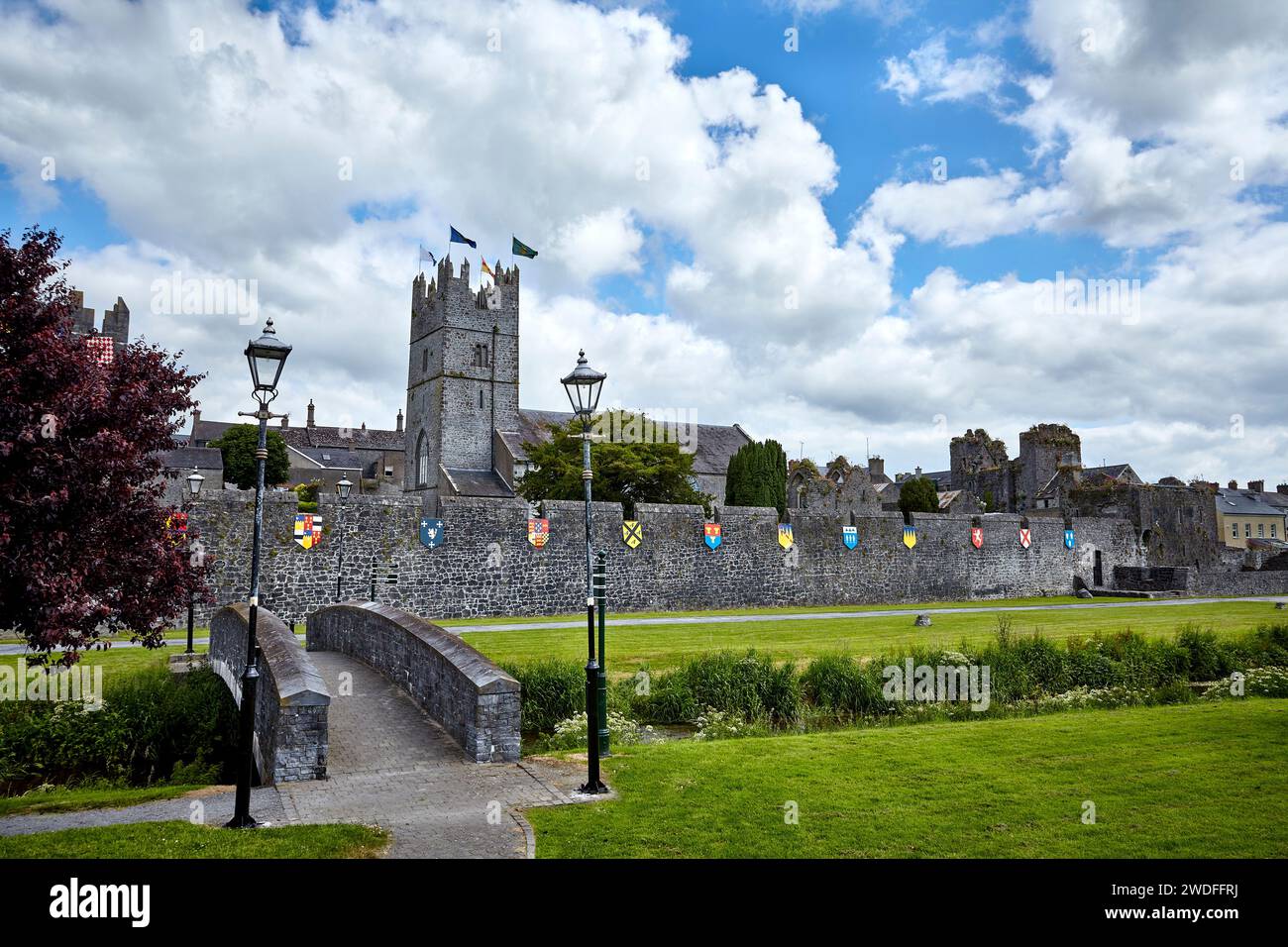 Enclosure in Lattin NorthEnclosure · 674 yd
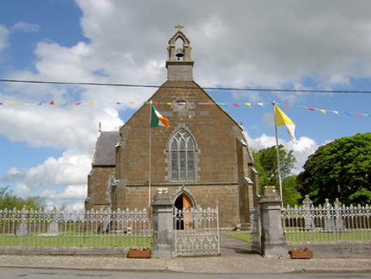 Catholic Church of the Assumptionchurch/chapel · 707 yd
 CastleCastle, ringwork · 1591 yd
 MoatCastle, motte · 2.1 mi
 Carn (site of)Cairn, burial cairn · 3.2 mi
 SlievenamuckMountain / peak · 3.3 mi
 Bansha ForestForest · 4.2 mi
 Darby's Bed Walk LoopWalking route · 4.3 mi
 Duntryleague HillMountain / peak · 4.3 mi
 Saint Patrick's WellSpring · 5.6 mi
Other information
Photo: Credit not shown in the picture search · Rights wording not checked; contact us if this picture should be removed