
What is recorded here
On flat grassland at the base of the W-facing slope of a hill on top of which is located Lattin church (TS066-044001-) and graveyard (TS066-044002-) 96m to the NE. Natural spring (int. diam. 0.9m: H 1.2m) well enclosed by a stone surround with flat lintelled roof with a gate hung on the door into the well, evidence of a circular dry stone wall surround at base of well. Whitethorn tree now collapsed beside well, no other features visible. No votive offerings visible in well or around whitehtorn bush. According to the OS letters the pattern to the well had been discontinued and that the well was dedicated to the Blessed Virgin Mary, Mother of God (O'Flanagan 1930, vol. 1, 4). The Pattern to the well was held on the 15th August of every year (Reynolds 1975, 70).
Compiled by: Jean Farrelly
Date of upload: 26 August 2011
Linked to a local tradition of healing, Ladys Well is associated with a spring that was historically visited for its supposed curative properties, particularly for women’s ailments. The well’s name suggests a possible connection to a local saint or lady of folklore, though specific details of the tradition or patron saint are not clearly recorded.
The monument record does not grant public access. Check the route and ask the landowner before entering private land.
- What survives
- Recorded monument
Places near here
 grottogrotto · 160 yd
 Enclosure in Lattin WestEnclosure · 358 yd
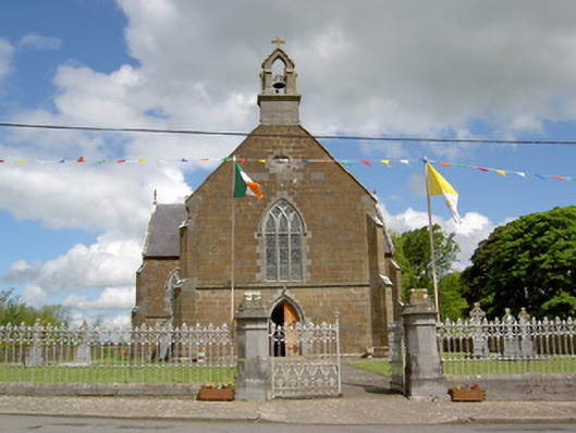 Catholic Church of the Assumptionchurch/chapel · 384 yd
 Field system in Clasheleesha,lattin NorthField system · 1274 yd
 CastleCastle, ringwork · 1398 yd
 MoatCastle, motte · 2.0 mi
 SlievenamuckMountain / peak · 3.3 mi
 Carn (site of)Cairn, burial cairn · 3.4 mi
 Bansha ForestForest · 4.0 mi
 Darby's Bed Walk LoopWalking route · 4.5 mi
 Duntryleague HillMountain / peak · 4.5 mi
 Saint Patrick's WellSpring · 5.8 mi
Other information
Photo: Credit not shown in the picture search · Rights wording not checked; contact us if this picture should be removed