
What is recorded here
In gently undulating pasture. The N gable (T 1m) of a two-storey house with attic, survives to its full height (c. 10m). The walls are of random rubble. There is a projecting chimney stack (Wth 2.63m; projection 0.59m) on this gable. According to local information, the field in which the ruin stands is known as the 'Castle Field' and the remains are those of a house belonging to St. Ledgers. The building is shown as an occupied house on the 1842 OS 6-inch map. The projecting chimney stack suggests a 17th-century date for its construction.
The above description is derived from 'The Archaeological Inventory of County Cork. Volume 5' (Dublin: Stationery Office, 2009).
Date of upload: 22 December 2009
The monument record does not grant public access. Check the route and ask the landowner before entering private land.
- What survives
- Recorded monument
Places near here
 Glanmire Heritage SocietyMemorial · 451 yd
 Grave YdGraveyard · 451 yd
 Rathcooney HouseCountry house · 712 yd
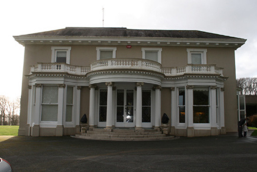 Lauristoncountry house · 836 yd
 Cork WalksVisitor information · 1266 yd
 Tinker's Cross ParkMemorial · 1280 yd
 IndicatedFairy fort / earthen ringfort · 1609 yd
 Vienna WoodsWood · 1.2 mi
 Tourist OfficeVisitor information · 2.6 mi
 Mount Hillary - Knightfield LoopWalking route · 23 mi
 Lauriston Lodgegate lodge · 1039 yd
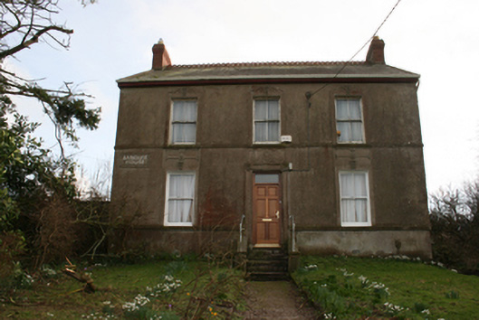 Banduff Househouse · 1228 yd
Other information
Photo: Credit not shown in the picture search · Rights wording not checked; contact us if this picture should be removed